Courtesy of Medicine Hat and District Genealogical Society (MHDGS)

Deaths

Longevity

Address

Range Rd 62 north of Twp Road 22
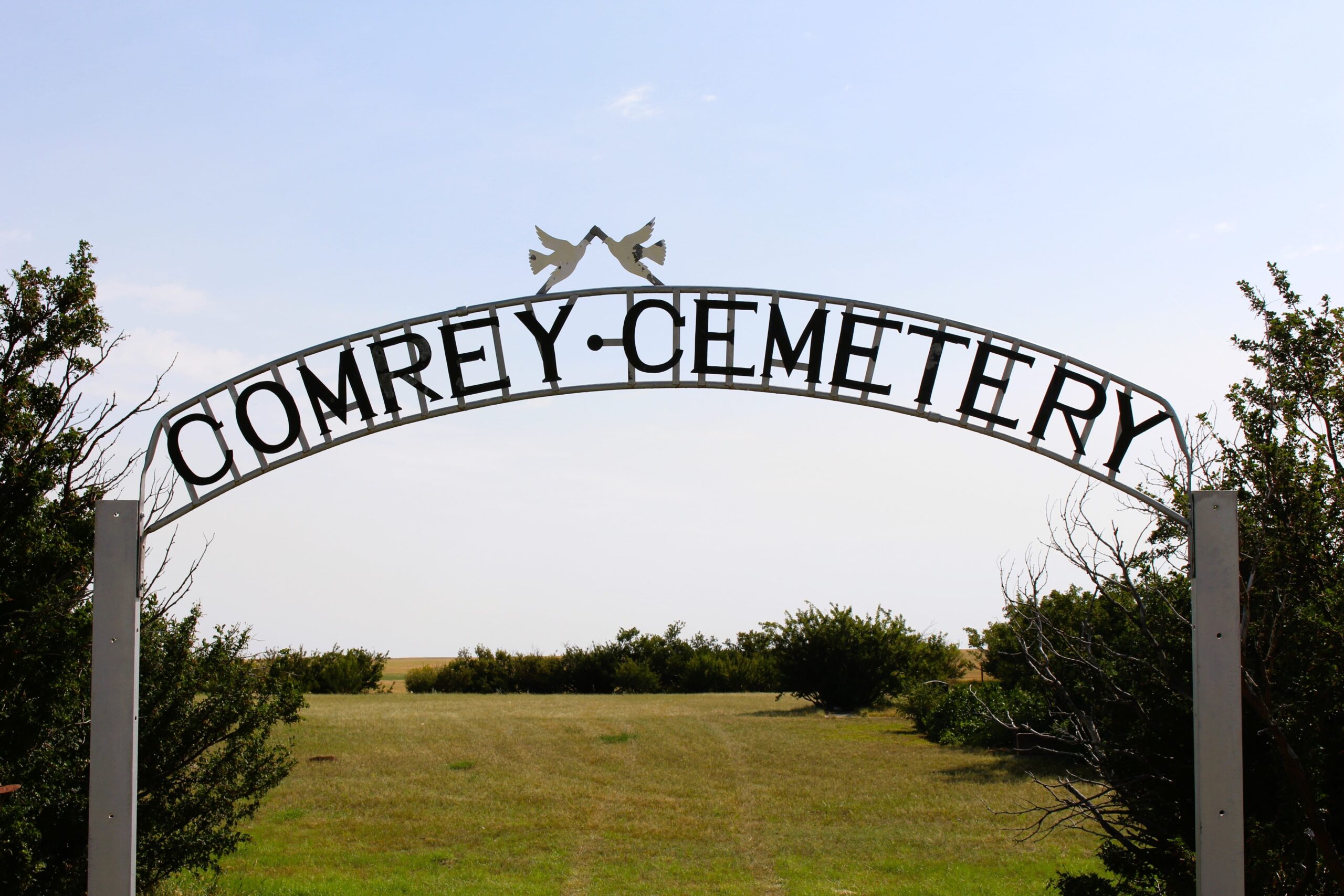
Nearest Populated Centre: Manyberries,
Province: Alberta

Map Location

Latitude, Longitude
49.12040, -110.71797

Map Location

Search for:
RESET
Surname Given Name Born Died Age Photo(s) Cemetery Obituary Narrative R Code

The 25 most common surnames found in this cemetery.

loader

The 25 most common given names found in this cemetery.

loader

Other Cemeteries

Strathmore Cemetery (Wheatland County)

Westridge Road; adjacent to Hwy 1 , Strathmore , Alberta

Gem Cemetery (Newell County)

Township Road 224 E of Highway 862 , Gem , Alberta

Ferrybank Cemetery (Ponoka County)

Highway 795 and Range Road 251 , Ponoka , Alberta

Passburg Cemetery (Crowsnest Pass)

Passburg Dr , Passburg , Alberta

Lacombe Home Cemetery (Calgary)

270 Providence Boulevard SE , Calgary , Alberta

Russian Colony Cemetery (Ponoka County)

Highway 771 & Township Road 443 , Homeglen (or Home Glen) , Alberta

Knee Hill Valley Divide Cemetery (Red Deer County)

Twp Rd 350 west of Rge Rd 264 , Knee Hill Valley , Alberta

Bergthal Cemetery (Mountain View County)

31-30539 Rge Rd 285 , NE of Carstairs , Alberta

Zion Baptist Cemetery (Hesketh, Kneehill County)

Range Road 222A south of Highway 9 , Hesketh , Alberta

Goddard Cemetery (Forty Mile County)

Township Road 121 and Range Road 50 , Foremost , Alberta

Discover Alberta Ancestors