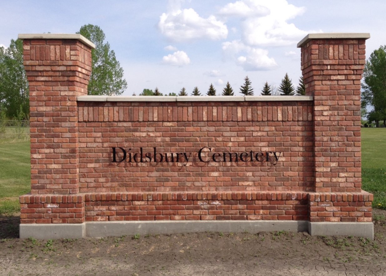
Deaths

Longevity

Address

18 Street
Nearest Populated Centre: Didsbury,
Province: Alberta

Map Location

Latitude, Longitude
51.65318, -114.135

Map Location

Search for:
RESET
Surname Given Name Born Died Age Photo(s) Cemetery Obituary Narrative R Code

The 25 most common surnames found in this cemetery.

loader

The 25 most common given names found in this cemetery.

loader

Other Cemeteries

Pleasant View Cemetery (Forty Mile County)

8 km west of junction of Highway 501 and Range Road 63 , Manyberries , Alberta

Eagle Hill Cemetery (Mountain View County)

33379 Range Rd 35 , Olds , Alberta

Leavitt Cemetery (Cardston County)

Range Road 265 N of Highway 5 , Leavitt , Alberta

Nemiscam Cemetery (Forty Mile County)

Highway 501 (Red Coat Trail) and Range Road 103 , Nemiskam , Alberta

Kuusamo Cemetery (Red Deer County)

Township Road 390 E of Range Road 23 , Sylvan Lake , Alberta

Beiseker Level Land Seventh-day Adventist Cemetery (Rocky View County)

Range Rd 242, south of Highway #9 , Beiseker , Alberta

Blairmore Catholic Cemetery (Crowsnest Pass)

25th Ave , Blairmore , Alberta

Rockyford Union Cemetery (Wheatland County)

Twp Rd 263 & Range Rd 234 , Rockyford , Alberta

Friedensfeld Baptist Cemetery (Cypress County)

Rge Rd 21 and Hwy 528 , Schuler , Alberta

Berry Creek Cemetery (Special Area No. 2)

Range Road 120 N of Township Road 284 , Berry Creek , Alberta

Discover Alberta Ancestors