Deaths

Longevity

Address

Highway 795 and Range Road 251
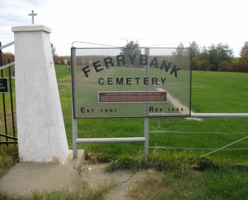
Nearest Populated Centre: Ponoka,
Province: Alberta

Map Location

Latitude, Longitude
52.7557, -113.80047

Map Location

Search for:
RESET
Surname Given Name Born Died Age Photo(s) Cemetery Obituary Narrative R Code

The 25 most common surnames found in this cemetery.

loader

The 25 most common given names found in this cemetery.

loader

Other Cemeteries

St. Joseph's Cemetery (Three Hills, Kneehill County)

Secondary Highway 583 just west of Three Hills , Three Hills , Alberta

Chinook Cemetery (Special Area No. 3)

Range Road 74 and Township Road 290 , Chinook (NW of Cereal) , Alberta

Namaka Mennonite Cemetery (Wheatland County)

Namaka, Strathmore Census Division , Carseland , Alberta

Union Cemetery (Calgary)

27 Ave & Spiller Rd SE , Calgary , Alberta

Little Knoll Finnish Lutheran Cemetery (Forty Mile County)

Range Road 55 south of Township Road 62 , Manyberries , Alberta

Standard Cemetery (Wheatland County)

Highway 840 & Cemetery Road , Standard , Alberta

Forty Mile Pioneer Cemetery (Forty Mile County)

Highway 879, Township Road 70, Range Road 112 , Foremost , Alberta

Assumption Cemetery (Forty Mile County)

Range Rd 130, Township Rd 92 , Grassy Lake , Alberta

St. Patrick Cemetery (Calgary)

14608 Macleod Tr SE (access off 146 Ave SE & Bannister Rd) , Calgary , Alberta

Discover Alberta Ancestors