Deaths

Longevity

Address

Highway 795 and Range Road 251
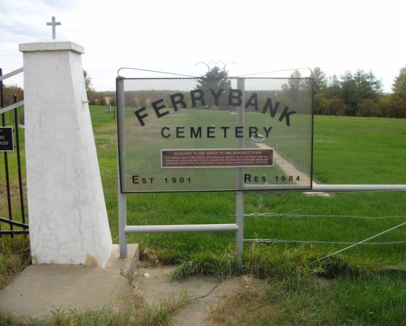
Nearest Populated Centre: Ponoka,
Province: Alberta

Map Location

Latitude, Longitude
52.7557, -113.80047

Map Location

Search for:
RESET
Surname Given Name Born Died Age Photo(s) Cemetery Obituary Narrative R Code

The 25 most common surnames found in this cemetery.

loader

The 25 most common given names found in this cemetery.

loader

Other Cemeteries

Aspelund Cemetery (Lacombe County)

Range Road 283 S of Township Road 394 / Aspelund Rd , Blackfalds , Alberta

O Perfect Peace Cemetery (Vulcan County)

Range Road 212 between Township Roads 190 and 192 , Milo , Alberta

Irricana United Church Cemetery (Rocky View County)

Hwy 567 & Range Rd 274 , Irricana , Alberta

Okotoks Cemetery (Foothills County)

30 Westland Street , Okotoks , Alberta

Sacred Heart Cemetery (Faith, Forty Mile County)

Township Road 41 and Range Road 100 , Nemiskam , Alberta

Little Plume Cemetery (Cypress County)

Eagle Butte Rd (Range Rd 51) and Twp Rd 100 , South of Dunmore , Alberta

Lobley Cemetery (Mountain View County)

Range Rd 61 south of Township Rd 344 , Sundre , Alberta

New Home Cemetery (Forty Mile County)

Township Road 63 and Range Road 50A , Manyberries , Alberta

Discover Alberta Ancestors