Courtesy of Medicine Hat and District Genealogical Society (MHDGS)

Deaths

Longevity

Address

Highway 885, Township Road 85, Range Road 102
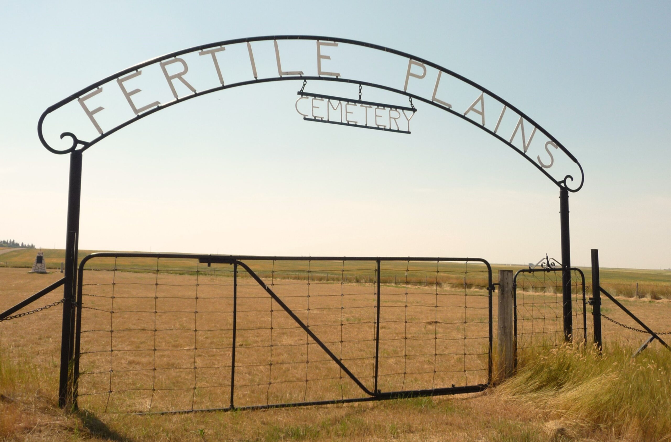
Nearest Populated Centre: Maleb, Bow Island area,
Province: Alberta

Map Location

Latitude, Longitude
49.66891, -111.26948

Map Location

Search for:
RESET
Surname Given Name Born Died Age Photo(s) Cemetery Obituary Narrative R Code

The 25 most common surnames found in this cemetery.

loader

The 25 most common given names found in this cemetery.

loader

Other Cemeteries

O Perfect Peace Cemetery (Vulcan County)

Range Road 212 between Township Roads 190 and 192 , Milo , Alberta

St. Rita's Cemetery (Rockyford, Wheatland County)

412 Serviceberry Trail , Rockyford , Alberta

Mayton Cemetery (Mountain View County)

27359 Twp Rd 333 , Mayton , Alberta

Highland Cemetery (Forty Mile County)

Township Road 120 and Range Road 84 , Whitla , Alberta

Queen's Park Cemetery & Mausoleum (Calgary)

3219 4 St NW , Calgary , Alberta

Kootenai Brown Cemetery (Waterton Lakes National Park)

Highway 5, Waterton Park , Waterton , Alberta

Gladys Union Cemetery (Foothills County)

370004 240 St E , Gladys , Alberta

Neuburg Adventist Cemetery (Cypress County)

Twp Rd 101 & Rge Rd 32 , Neuberg (south of Irvine) , Alberta

West Zion Mennonite Cemetery (Mountain View County)

2155 Twp Rd 304 , Carstairs , Alberta

Discover Alberta Ancestors