Deaths

Longevity

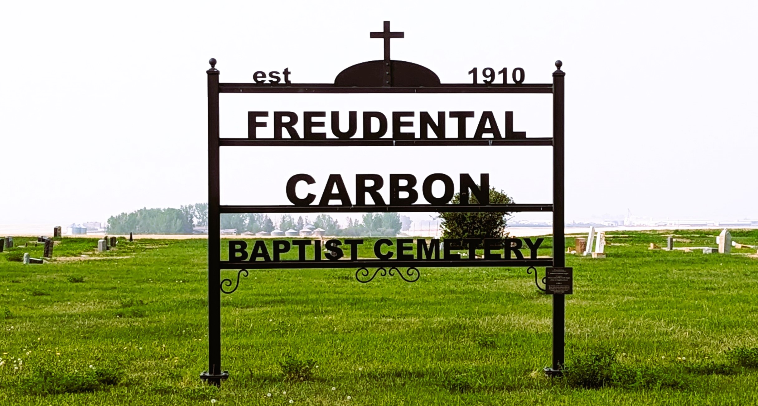
Address

234002 Twp Rd 284
Nearest Populated Centre: Carbon,
Province: Alberta

Map Location

Latitude, Longitude
51.41684, -113.19336

Map Location

Search for:
RESET
Surname Given Name Born Died Age Photo(s) Cemetery Obituary Narrative R Code

The 25 most common surnames found in this cemetery.

loader

The 25 most common given names found in this cemetery.

loader

Other Cemeteries

Ferrybank Cemetery (Ponoka County)

Highway 795 and Range Road 251 , Ponoka , Alberta

Ouelletteville Cemetery (Wheatland County)

Twp Rd 230 just west of Rge Rd 222 , Cluny , Alberta

St. Anne's Cemetery (Josephburg, Cypress County)

East of Range Road 30, south of Township Road 94 , Josephburg , Alberta

Bunker Hill Cemetery (Wetaskiwin County)

463033 Range Road 33 S of Township Road 464 , Winfield , Alberta

Caldwell-Moir Cemetery (Cardston County)

Range Road 280 S of Township Road 25A/B , Mountain View , Alberta

St. Francis of Assisi Cemetery (Leduc County)

Highway 770 north of Highway 622 , Thorsby , Alberta

Barons Cemetery (Lethbridge County)

Twp Rd 23 south of Rge Rd 520 , Barons , Alberta

Haneyville Cemetery (Paintearth County)

Township Road 370 , Haneyville , Alberta

Sacred Heart Cemetery (Bow Island, Forty Mile County)

Township Road 90 and Range Road 111 , Bow Island , Alberta

Discover Alberta Ancestors