Deaths

Longevity

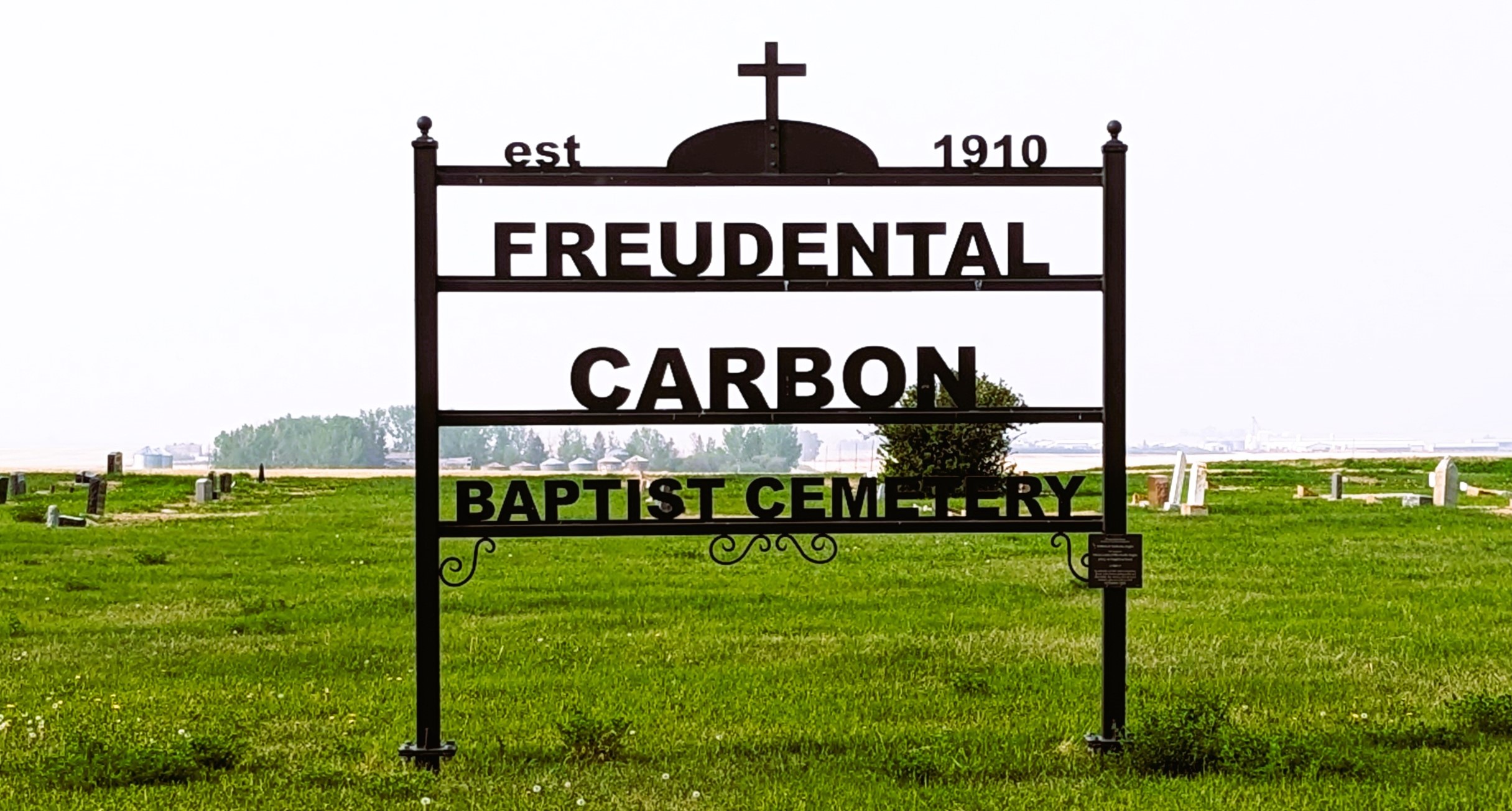
Address

234002 Twp Rd 284
Nearest Populated Centre: Carbon,
Province: Alberta

Map Location

Latitude, Longitude
51.41684, -113.19336

Map Location

Search for:
RESET
Surname Given Name Born Died Age Photo(s) Cemetery Obituary Narrative R Code

The 25 most common surnames found in this cemetery.

loader

The 25 most common given names found in this cemetery.

loader

Other Cemeteries

Coffin Handle Butte Cemetery (Vulcan County)

top of Coffin Handle Butte east of Milo AB , Milo , Alberta

Salem Evangelical Cemetery (Hilda, Cypress County)

Twp Rd 182 & Rge Rd 11 , Hilda , Alberta

Jenner Old Cemetery (Special Area No. 2)

Township Road 210 W of Jenner , Jenner , Alberta

St. Rita's Cemetery (Rockyford, Wheatland County)

412 Serviceberry Trail , Rockyford , Alberta

Rosemary Catholic Cemetery (Newell County)

Old #1 Highway and East Gem Road , Rosemary , Alberta

Homeland Cemetery (Kneehill County)

292044 Rge Rd 211A , Dunphy , Alberta

Strathmore Cemetery (Wheatland County)

Westridge Road; adjacent to Hwy 1 , Strathmore , Alberta

Water Valley Cemetery (Mountain View County)

Range Rd 52 & Highway 579 , Water Valley , Alberta

Rockyford Union Cemetery (Wheatland County)

Twp Rd 263 & Range Rd 234 , Rockyford , Alberta

Ferrybank Cemetery (Ponoka County)

Highway 795 and Range Road 251 , Ponoka , Alberta

Discover Alberta Ancestors