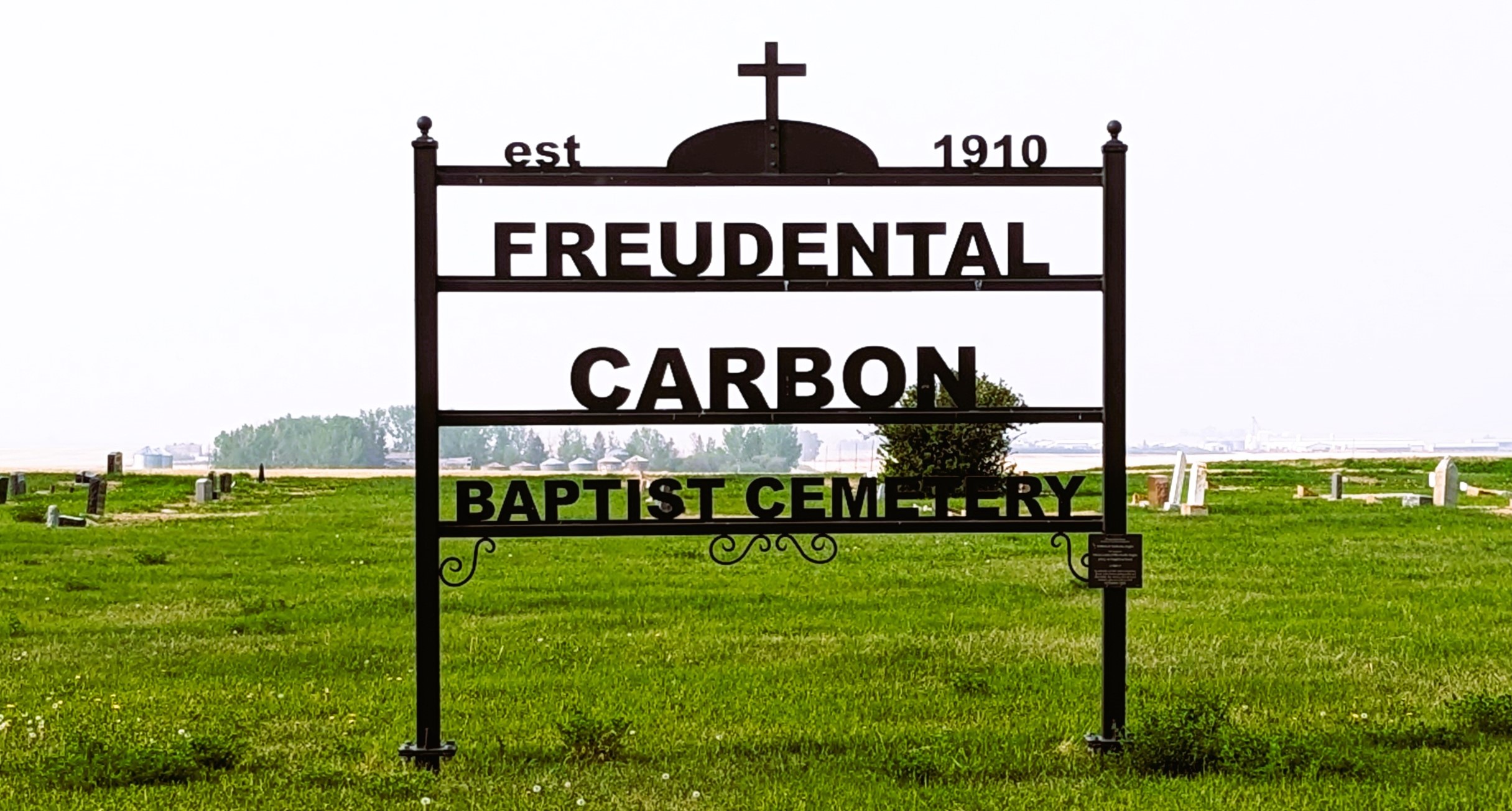
Deaths

Longevity

Address

234002 Twp Rd 284
Nearest Populated Centre: Carbon,
Province: Alberta

Map Location

Latitude, Longitude
51.41684, -113.19336

Map Location

Search for:
RESET
Surname Given Name Born Died Age Photos Cemetery R Code

The 25 most common surnames found in this cemetery.

loader

The 25 most common given names found in this cemetery.

loader

Other Cemeteries

Maybutt Cemetery (Warner County)

Front St & First Ave , Maybutt , Alberta

Rosemary North Cemetery (Newell County)

Range Road 160 N of Highway 550 , Rosemary , Alberta

Beiseker Level Land Seventh-day Adventist Cemetery (Rocky View County)

Range Rd 242, south of Highway #9 , Beiseker , Alberta

Harmattan Anglican Cemetery (Mountain View County)

Range Rd 40 S of Hwy 27 , Harmattan , Alberta

Hope Lutheran Cemetery (Vulcan County)

Twp Rd 192 between Rge Roads 220 and 221 , Milo , Alberta

Ewing Cemetery (Stettler County)

Township Road 372 & Range Road 212A , Erskine , Alberta

Richdale Cemetery (Special Area No. 2)

Highway 9 west of Hamlet of Richdale , Richdale , Alberta

Maywood Cemetery (Wetaskiwin County)

55021A Twp Rd 460A , Winfield , Alberta

Lone Butte Cemetery (Special Area No. 2)

Highway 570 and Range Road 151 , Dorothy , Alberta

Hoadley Cemetery (Ponoka County)

Highway 611 E of Highway 20 , Red Deer , Alberta

Discover Alberta Ancestors