Friedens Cemetery was established in 1913 on land probably donated by the Reinholt Siewert Homestead.
This cemetery is located about 7½ miles south and 2½ miles west of Hanna.

Source: https://www.findagrave.com/cemetery/2516062/friedens-cemetery

Deaths

Longevity

Address

Range Road 151 and Township Road 300
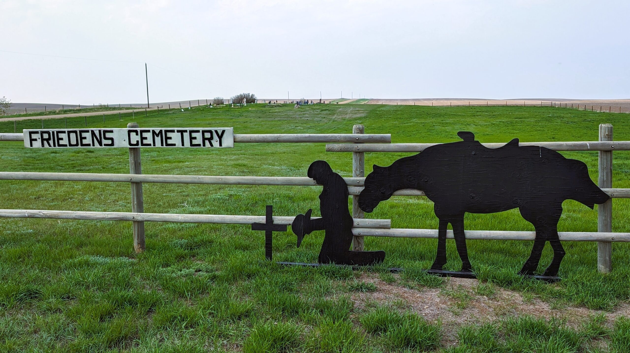
Nearest Populated Centre: Hanna,
Province: Alberta

Map Location

Latitude, Longitude
51.53336, -111.99708

Map Location

Search for:
RESET
Surname Given Name Born Died Age Photos Cemetery R Code

The 25 most common surnames found in this cemetery.

loader

The 25 most common given names found in this cemetery.

loader

Other Cemeteries

Hespero Cemetery (Clearwater County)

Highway 11 and Range Road 42 , Hespero , Alberta

Pine Creek Cemetery (Foothills County)

220 Legacy Village Link SE , Calgary , Alberta

Caldwell-Moir Cemetery (Cardston County)

Range Road 280 S of Township Road 25A/B , Mountain View , Alberta

Sarcee Butte Cemetery (Kneehill County)

311012 Range Road 221 , Three Hills , Alberta

Knoll Cemetery (Michichi, Starland County)

Township Road 31-0 E of Highway 849 , Michichi , Alberta

Chevra Kadisha Erlton Street Cemetery (Calgary)

32 30th Ave SW , Calgary , Alberta

Hand Hills Baptist Cemetery (Special Area No. 2)

Range Road 163 and Township Road 302 , Hanna , Alberta

Maybutt Cemetery (Warner County)

Front St & First Ave , Maybutt , Alberta

Jenner Cemetery (Special Area No. 2)

Highway 884 and Highway 555 , Jenner , Alberta

St. Cecilia's Cemetery (Nanton, MD of Willow Creek)

Range Rd 282, north of Hwy 533 , Nanton , Alberta

Discover Alberta Ancestors