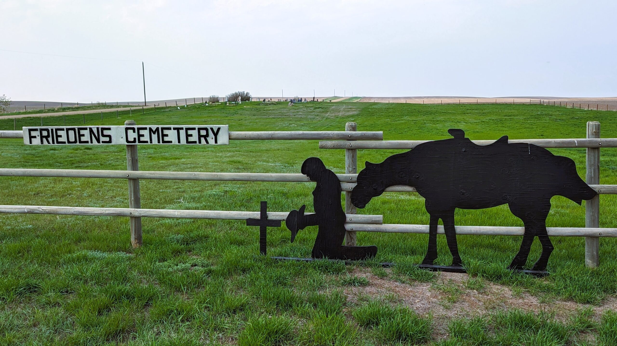
Friedens Cemetery was established in 1913 on land probably donated by the Reinholt Siewert Homestead.
This cemetery is located about 7½ miles south and 2½ miles west of Hanna.

Source: https://www.findagrave.com/cemetery/2516062/friedens-cemetery

Deaths

Longevity

Address

Range Road 151 and Township Road 300
Nearest Populated Centre: Hanna,
Province: Alberta

Map Location

Latitude, Longitude
51.53336, -111.99708

Map Location

Search for:
RESET
Surname Given Name Born Died Age Photos Cemetery R Code

The 25 most common surnames found in this cemetery.

loader

The 25 most common given names found in this cemetery.

loader

Other Cemeteries

Pleasant View Cemetery (Forty Mile County)

8 km west of junction of Highway 501 and Range Road 63 , Manyberries , Alberta

Beiseker Level Land Seventh-day Adventist Cemetery (Rocky View County)

Range Rd 242, south of Highway #9 , Beiseker , Alberta

Walsh Community Cemetery (Cypress County)

Township Road 114 and Range Road 13 , Walsh , Alberta

Youngstown Cemetery (Special Area No. 3)

Highway 884 just S of Youngstown , Youngstown , Alberta

St. Andrew's Cemetery (Gladys, Foothills County)

Highway 547 & 192 St , Gladys , Alberta

Hope Lutheran Cemetery (Vulcan County)

Twp Rd 192 between Rge Roads 220 and 221 , Milo , Alberta

Alder Flats Cemetery (Wetaskiwin County)

Township Road 460 W of Range Road 74 , Buck Lake , Alberta

Bellevue Catholic Cemetery (Crowsnest Pass)

Bellevue , Bellevue , Alberta

Maerz Cemetery (Kneehill County)

Rge Rd 252 south of Hwy 802, west of Three Hills , Three Hills , Alberta

Blairmore Catholic Cemetery (Crowsnest Pass)

25th Ave , Blairmore , Alberta

Discover Alberta Ancestors