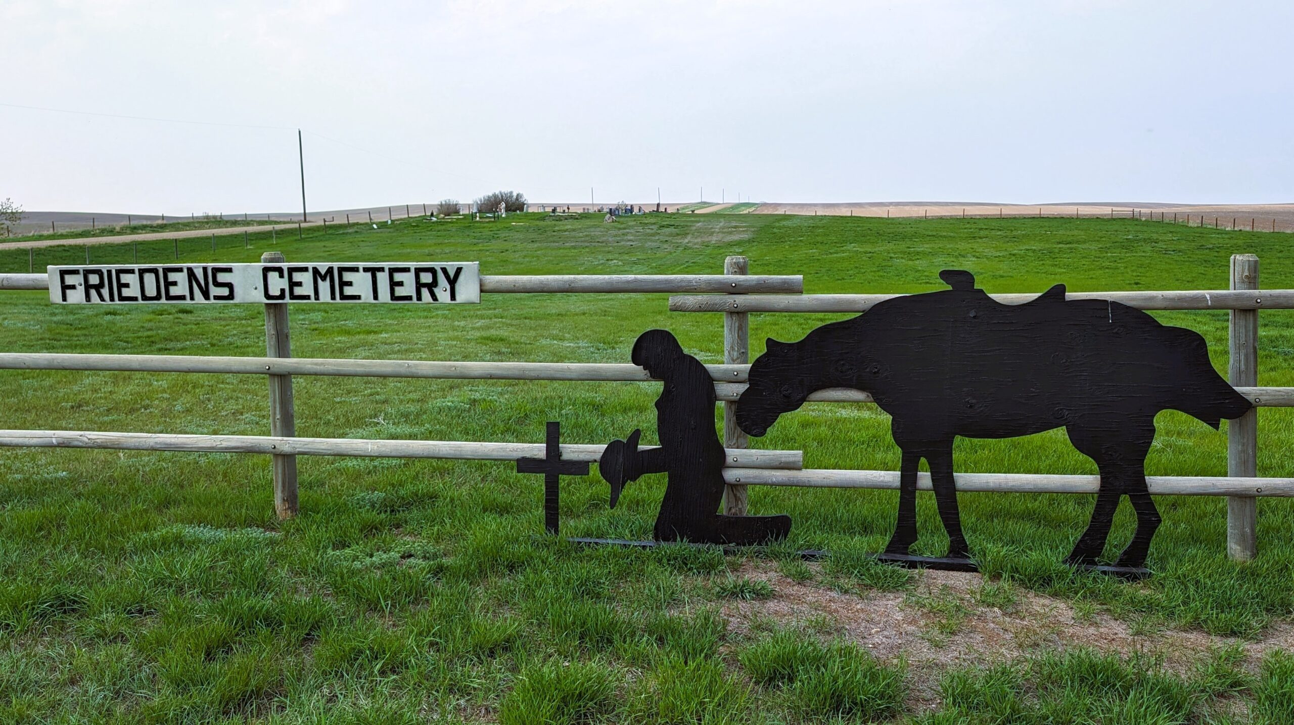
Friedens Cemetery was established in 1913 on land probably donated by the Reinholt Siewert Homestead.
This cemetery is located about 7½ miles south and 2½ miles west of Hanna.

Source: https://www.findagrave.com/cemetery/2516062/friedens-cemetery

Deaths

Longevity

Address

Range Road 151 and Township Road 300
Nearest Populated Centre: Hanna,
Province: Alberta

Map Location

Latitude, Longitude
51.53336, -111.99708

Map Location

Search for:
RESET
Surname Given Name Born Died Age Photos Cemetery R Code

The 25 most common surnames found in this cemetery.

loader

The 25 most common given names found in this cemetery.

loader

Other Cemeteries

Faith Union Cemetery (Forty Mile County)

Township Road 42 and Highway 885 , Etzikom , Alberta

Chevra Kadisha Erlton Street Cemetery (Calgary)

32 30th Ave SW , Calgary , Alberta

Hoadley Cemetery (Ponoka County)

Highway 611 E of Highway 20 , Red Deer , Alberta

Highland Cemetery (Forty Mile County)

Township Road 120 and Range Road 84 , Whitla , Alberta

Rosebud Cemetery (Wheatland County)

Twp Rd 272 , Rosebud , Alberta

O Perfect Peace Cemetery (Vulcan County)

Range Road 212 between Township Roads 190 and 192 , Milo , Alberta

St. Joseph's Cemetery (Foremost, Forty Mile County)

Township Road 72 and Range road 113 , Foremost , Alberta

Blairmore New Union Cemetery (Crowsnest Pass)

25th Ave , Blairmore , Alberta

Stockburger Cemetery (Cypress County)

Township Road 190 and Range Road 20 , Hilda , Alberta

Trinity Mennonite Church Cemetery (Foothills County)

434 Ave E & 144 St E , Aldersyde , Alberta

Discover Alberta Ancestors