Courtesy of Medicine Hat and District Genealogical Society (MHDGS)

Deaths

Longevity

Address

Twp Rd 100 & Range Rd 12 (Graburn Road)
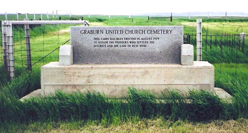
Nearest Populated Centre: Walsh,
Province: Alberta

Map Location

Latitude, Longitude
49.78545, -110.04853

Map Location

Search for:
RESET
Surname Given Name Born Died Age Photos Cemetery R Code

The 25 most common surnames found in this cemetery.

loader

The 25 most common given names found in this cemetery.

loader

Other Cemeteries

Winnifred Cemetery (Forty Mile County)

Just south of Gate Avenue between Albert St and Park St , Winnifred , Alberta

Gleichen Cemetery (Wheatland County)

Highway 547 north of town , Gleichen , Alberta

Blackie Cemetery (Foothills County)

490001 Hwy 799 , Blackie , Alberta

Pleasant View Cemetery (Forty Mile County)

8 km west of junction of Highway 501 and Range Road 63 , Manyberries , Alberta

Hutterian Brethren of Roseglen Cemetery (Cypress County)

Twp Rd 180 and Rge Rd 22 , Hilda , Alberta

Kin Coulee Cemetery (Medicine Hat)

Old Cemetery Rd SE , Medicine Hat , Alberta

St. Peter's German Latvian Lutheran Cemetery (Irvine, Cypress County)

Township Road 100 & Range Road 31 , Irvine , Alberta

Sutherland Cemetery (Newell County)

Range Road 141 and Township Road 191 , Brooks , Alberta

St. Gabriel's Cemetery (Carbon, Kneehill County)

Range Rd 232 , Carbon , Alberta

Discover Alberta Ancestors