
Highway 19 and Service Road 2 E; next to Highway 2
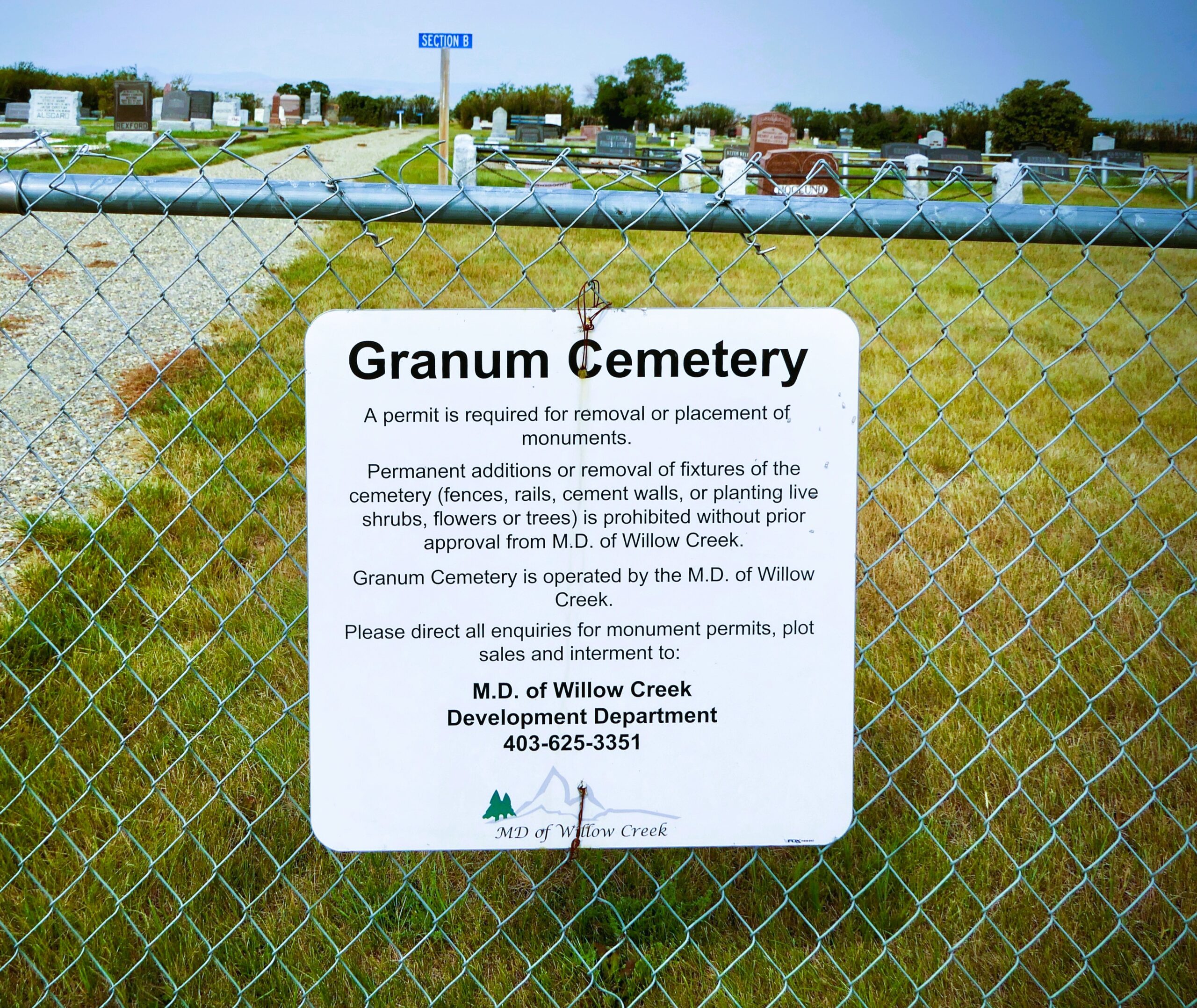
Granum is a town on Secondary Highway 519, approximately 50 kilometres northwest of Lethbridge. It was originally known as Leavings, as the point on the Calgary-Fort Benton Trail that left the banks of the Willow Creek. Its location in a fertile wheat-growing district prompted future provincial treasurer Malcolm McKenzie, who represented the are in the Legislature at the time, to suggest a new name: Granum, the Latin word for “grain”. The Leavings post office was renamed Granum in 1907. Granum became a village in 1908 and a town in 1910.
Address
Highway 19 and Service Road 2 E; next to Highway 2
Nearest Populated Centre: Granum,
Province: Alberta
Map Location
Latitude, Longitude
49.88117, -113.52608
Map Location
| Surname | Given Name | Born | Died | Age | Photos | Cemetery | R Code |
|---|---|---|---|---|---|---|---|
The 25 most common surnames found in this cemetery.

The 25 most common given names found in this cemetery.