
13305 Township Road 104
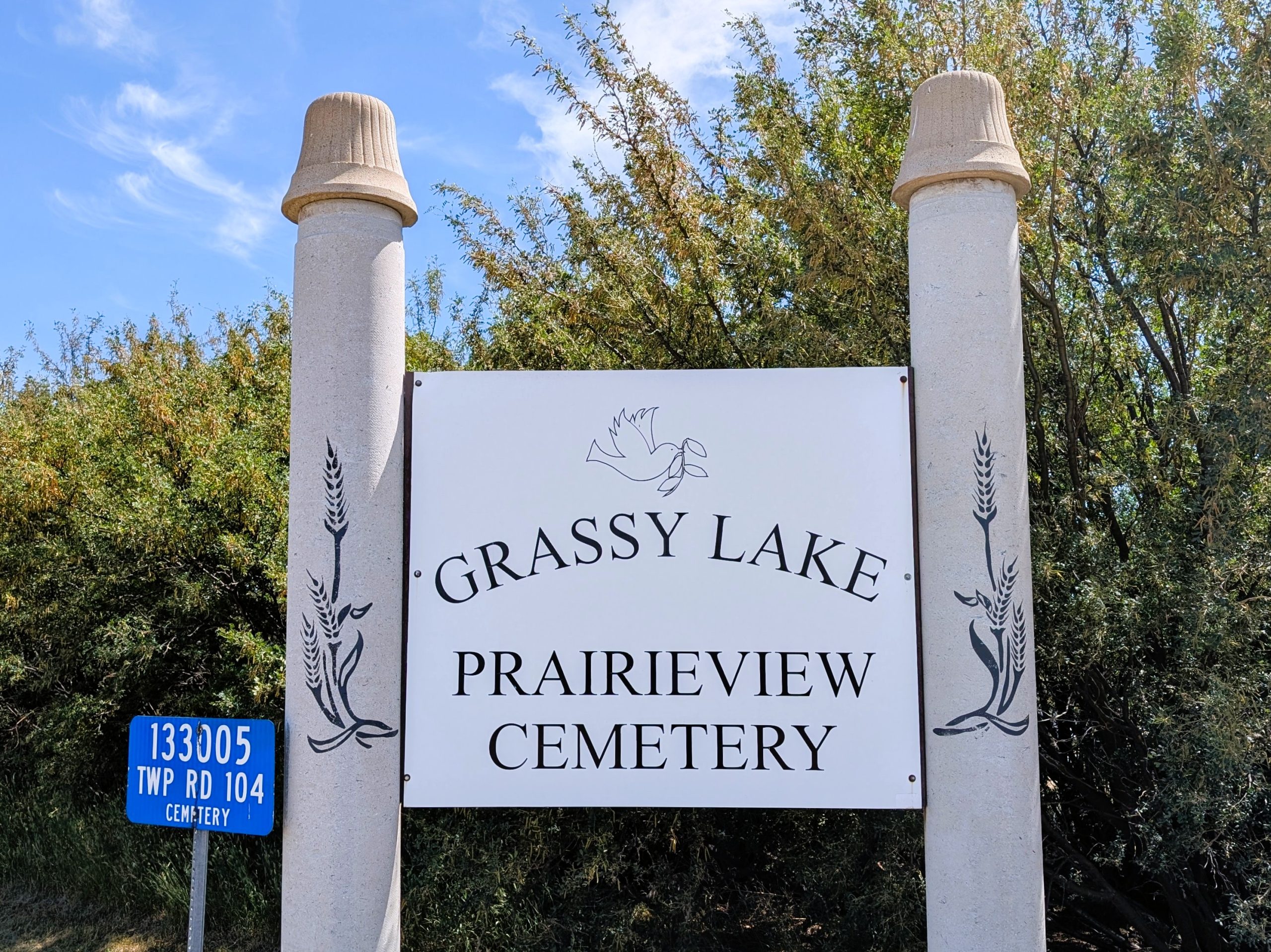
Nestled just north of the small hamlet of Grassy Lake in southern Alberta lies a quiet landmark of local heritage: Prairie View Cemetery (Grassy Lake). Often referred to simply as Prairie View or Prairieview Cemetery, this burial ground stands as a testament to the lives, struggles, and enduring stories of rural prairie settlers in the Municipal District of Taber and the Southern Alberta region.
Established in the early 20th century as part of southern Alberta’s agricultural expansion, Grassy Lake grew around the promise of arable land, railway access, and the opportunity for families to build homesteads in Canada’s burgeoning west. The settlement was named for a nearby lake that has since been drained, and over time it became a focal point for farmers, ranchers, and merchants servicing the region.
Today, Prairie View remains a quiet and respectful landscape, grass-lined rows of stones that connect past generations with the present. Walking among its plots, one can trace the rhythms of prairie life: boom and bust, beginnings and endings, and the deep-rooted tenacity of a community that saw this land transform from open grassland into a mosaic of farms, towns, and shared heritage
Address
13305 Township Road 104
Nearest Populated Centre: Grassy Lake,
Province: Alberta
Map Location
Latitude, Longitude
49.84299, -111.69957
Map Location
| Surname | Given Name | Born | Died | Age | Photos | Cemetery | R Code |
|---|---|---|---|---|---|---|---|
The 25 most common surnames found in this cemetery.

The 25 most common given names found in this cemetery.