Courtesy of Medicine Hat and District Genealogical Society (MHDGS)

Deaths

Longevity

Address

Highway 879, Township Road 80, Range Road 121
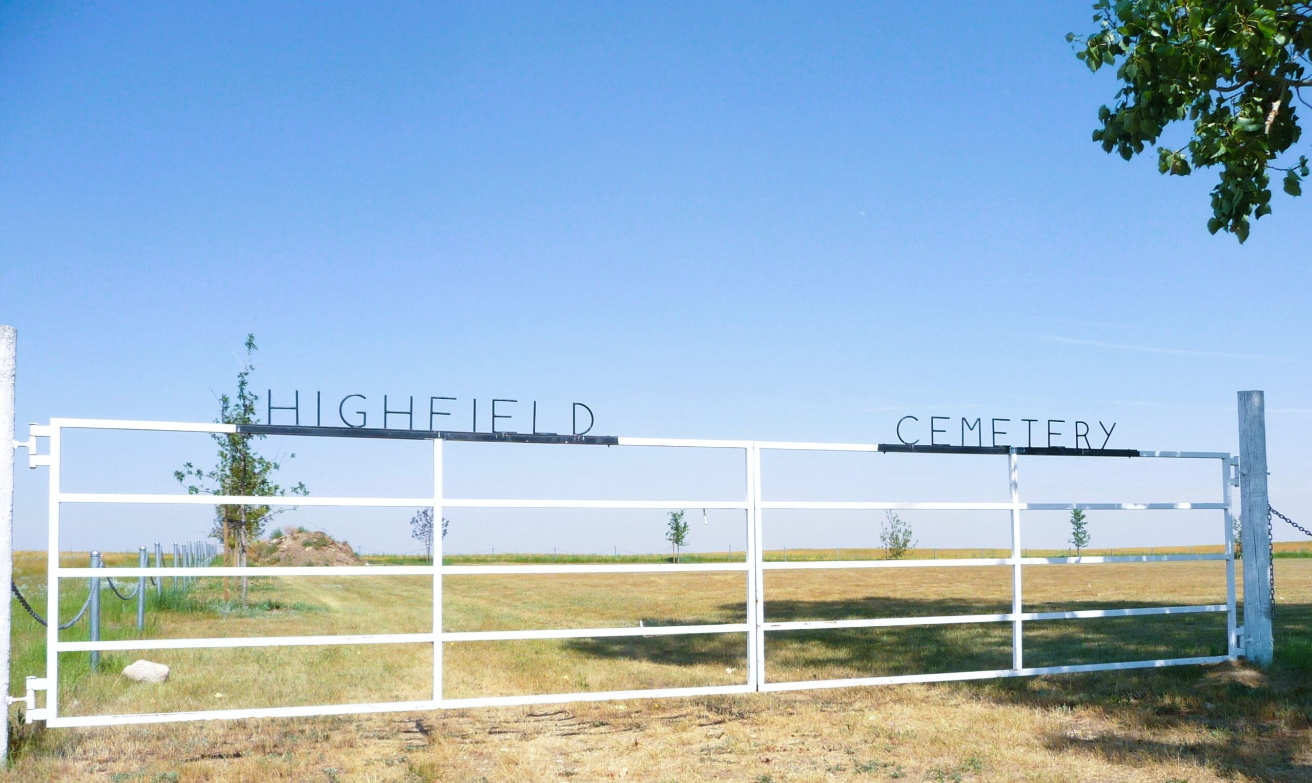
Nearest Populated Centre: Burdett,
Province: Alberta

Map Location

Latitude, Longitude
49.6115, -111.52843

Map Location

Search for:
RESET
Surname Given Name Born Died Age Photo(s) Cemetery Obituary Narrative R Code

The 25 most common surnames found in this cemetery.

loader

The 25 most common given names found in this cemetery.

loader

Other Cemeteries

Pleasant View Cemetery (Forty Mile County)

8 km west of junction of Highway 501 and Range Road 63 , Manyberries , Alberta

Lutheran Cemetery (Schuler, Cypress County)

Twp Rd 161 & Rge Rd 10 , Schuler , Alberta

Blackie Cemetery (Foothills County)

490001 Hwy 799 , Blackie , Alberta

St. Anne's Cemetery (Josephburg, Cypress County)

East of Range Road 30, south of Township Road 94 , Josephburg , Alberta

Gleichen Cemetery (Wheatland County)

Highway 547 north of town , Gleichen , Alberta

Old Monarch Cemetery (Lethbridge County)

Range Rd 235 South of Hwy 3A , Monarch , Alberta

Hand Hills Baptist Cemetery (Special Area No. 2)

Range Road 163 and Township Road 302 , Hanna , Alberta

Cremona Community Cemetery (Mountain View County)

Township Rd 295B & Highway 580 , Cremona , Alberta

Chinese Cemetery (Calgary)

3205 Macleod Tr SW , Calgary , Alberta

Hill Spring Pioneer Cemetery (Cardston County)

Township Rd 43A , Hill Spring , Alberta

Discover Alberta Ancestors