Courtesy of Medicine Hat and District Genealogical Society (MHDGS)

Deaths

Longevity

Address

Twp Rd 182 & Range Rd 20
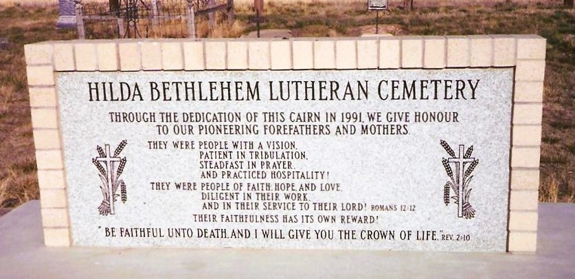
Nearest Populated Centre: Hilda,
Province: Alberta

Map Location

Latitude, Longitude
50.50622, -110.14031

Map Location

Search for:
RESET
Surname Given Name Born Died Age Photo(s) Cemetery Obituary Narrative R Code

The 25 most common surnames found in this cemetery.

loader

The 25 most common given names found in this cemetery.

loader

Other Cemeteries

Pleasant View Cemetery (Forty Mile County)

8 km west of junction of Highway 501 and Range Road 63 , Manyberries , Alberta

St. Andrews Cemetery (Cochrane, Rocky View County)

427 Centre Ave N , Cochrane , Alberta

Standard Cemetery (Wheatland County)

Highway 840 & Cemetery Road , Standard , Alberta

Bethel Carbon Cemetery (Kneehill County)

Twp Rd 284 & Twp Rd 836 , Carbon , Alberta

Pendant D'Oreille Cemetery (Forty Mile County)

Township Rd 33 and Range Road 73 , Orion , Alberta

Kootenai Brown Cemetery (Waterton Lakes National Park)

Highway 5, Waterton Park , Waterton , Alberta

Bauder Family Cemetery (Cypress County)

Twp Rd 143 & Rge Rd 11 , Many Islands Lake , Alberta

Quast Family Cemetery (Cypress County)

Twp Rd 160 & Rge Rd 23 , Schuler , Alberta

Trinity Mennonite Church Cemetery (Foothills County)

434 Ave E & 144 St E , Aldersyde , Alberta

Wenz Cemetery (Cypress County)

Township Road 204 and Range Road 13 , Sandy Point , Alberta

Discover Alberta Ancestors