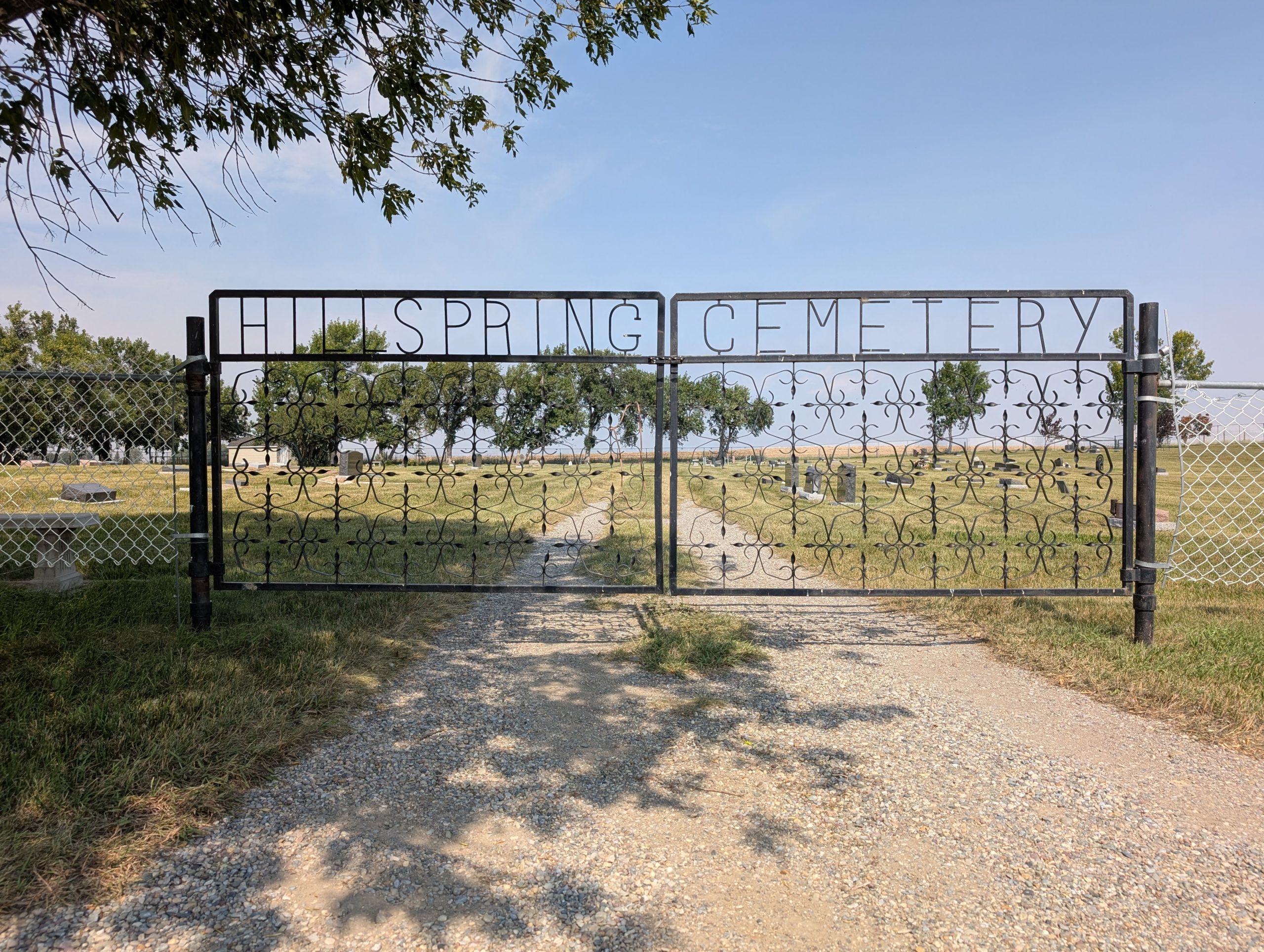
Township Rd 43A

Hill Spring is a small village nestled between the foothills of the Rocky Mountains and the prairie land of Southwestern Alberta. It is located on Secondary Highway 800 just off Highway 505 and along the gateway to Waterton National Parks, about a half hour’s drive away. The closest community is Cardston, 30 km to the east. Residents enjoy the country like relaxed lifestyle and surrounding scenery. In the 2021 Census of Population conducted by Statistics Canada, the Village of Hill Spring had a population of 168 people.
Hill Spring was founded in 1910 by Church of Jesus Christ of Latter-day Saints (LDS) leader Edward J. Wood. In 1903, Wood became the president of the Alberta Stake of the LDS Church, which was headquartered in Cardston. In 1906, Wood organized the church’s purchase of the 66,500-acre (270 sq. kilometers) Cochran Ranch for $6 an acre. On this land, Wood founded the Latter-day Saint settlements of Glenwood (1908) and Hill Spring (1910).
Hill Spring is serviced by two cemeteries, Hill Spring Cemetery and Hill Spring Pioneer Cemetery, located about 2.5 km apart from each other and just north of the village. As of 2022, Hill Spring Cemetery recoded 427 interments and Hill Spring Pioneer 68.
Address
Township Rd 43A
Nearest Populated Centre: Hill Spring,
Province: Alberta
Map Location
Latitude, Longitude
49.31287, -113.64361
Map Location
| Surname | Given Name | Born | Died | Age | Photos | Cemetery | R Code |
|---|---|---|---|---|---|---|---|
The 25 most common surnames found in this cemetery.

The 25 most common given names found in this cemetery.

