Deaths

Longevity

Address

Township Road 242 E of Highway 36
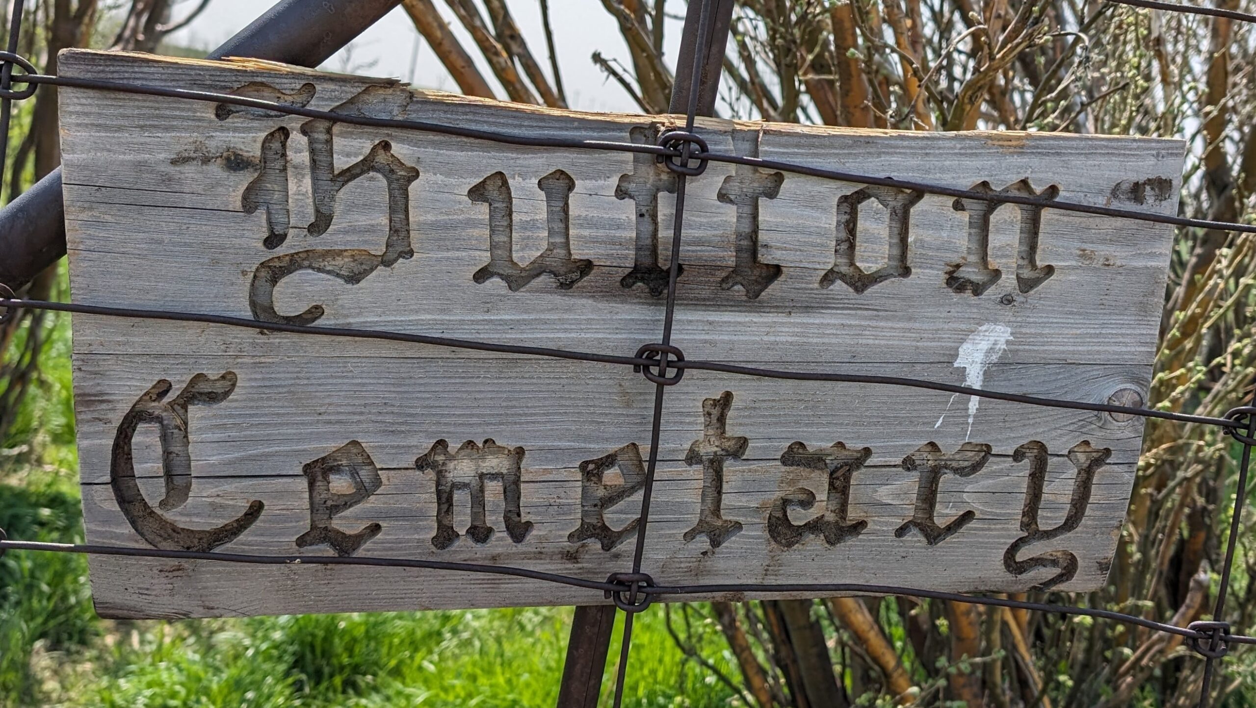
Nearest Populated Centre: Hutton,
Province: Alberta

Map Location

Latitude, Longitude
51.03751, -111.84321

Map Location

Search for:
RESET
Surname Given Name Born Died Age Photo(s) Cemetery Obituary Narrative R Code

The 25 most common surnames found in this cemetery.

loader

The 25 most common given names found in this cemetery.

loader

Other Cemeteries

Sacred Heart Cemetery (Faith, Forty Mile County)

Township Road 41 and Range Road 100 , Nemiskam , Alberta

St. Gabriel's Cemetery (Carbon, Kneehill County)

Range Rd 232 , Carbon , Alberta

Frankburg Cemetery (Foothills County)

Range Rd 273, S of Hwy 23 , Frankburg (ghost town south of Blackie) , Alberta

Eventide Cemetery (Wheatland County)

Hwy 547 , Gleichen , Alberta

St. Peter's German Latvian Lutheran Cemetery (Irvine, Cypress County)

Township Road 100 & Range Road 31 , Irvine , Alberta

Arthurvale Cemetery (Red Deer County)

Range Road 250 & Township Road 350 , Elnora , Alberta

Bunker Hill Cemetery (Wetaskiwin County)

463033 Range Road 33 S of Township Road 464 , Winfield , Alberta

Ebenezer Cemetery (Forty Mile County)

Township Road 84 and Range Road 71 , Seven Persons , Alberta

Westcott Cemetery (Mountain View County)

Westcott Rd & Range Rd 32 , Westcott , Alberta

Congregational Church Cemetery (Gros Ventre, Cypress County)

Township Road 94 and Range Rd 43 , Gros Ventre - Tothill , Alberta

Discover Alberta Ancestors