Deaths

Longevity

Address

Township Road 242 E of Highway 36
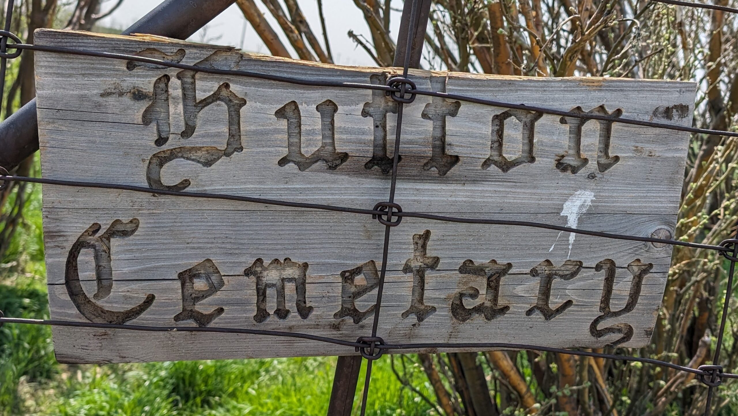
Nearest Populated Centre: Hutton,
Province: Alberta

Map Location

Latitude, Longitude
51.03751, -111.84321

Map Location

Search for:
RESET
Surname Given Name Born Died Age Photo(s) Cemetery Obituary Narrative R Code

The 25 most common surnames found in this cemetery.

loader

The 25 most common given names found in this cemetery.

loader

Other Cemeteries

Wiest Cemetery (MD of Taber)

143043 Range Road 195 , Enchant , Alberta

Pleasant View Cemetery (Forty Mile County)

8 km west of junction of Highway 501 and Range Road 63 , Manyberries , Alberta

Jennings (Northern) Cemetery (Special Area No. 2)

Range Road 113 N of Township Road 250 , Cessford , Alberta

Zion Lutheran Cemetery Site 1 (Cypress County)

Twp 180 and Rge Rd 24 , Hilda , Alberta

Rosemary Cemetery (Newell County)

Railway Avenue , Rosemary , Alberta

O Perfect Peace Cemetery (Vulcan County)

Range Road 212 between Township Roads 190 and 192 , Milo , Alberta

St. John's Lutheran Cemetery (Granum, MD of Willow Creek)

Township Road 102 near Granum , Granum , Alberta

Arrowwood Cemetery (Vulcan County)

Range Rd 233 just south of Twp Rd 205 , Arrowwood , Alberta

Wayne Community Cemetery (Town Of Drumheller)

Excelsior Avenue , Wayne , Alberta

Norwegian Lutheran Cemetery (Cypress County)

Rge Rd 20 and Twp Rd 160 , Schuler , Alberta

Discover Alberta Ancestors