
Township Road 440 W of Range Road 34
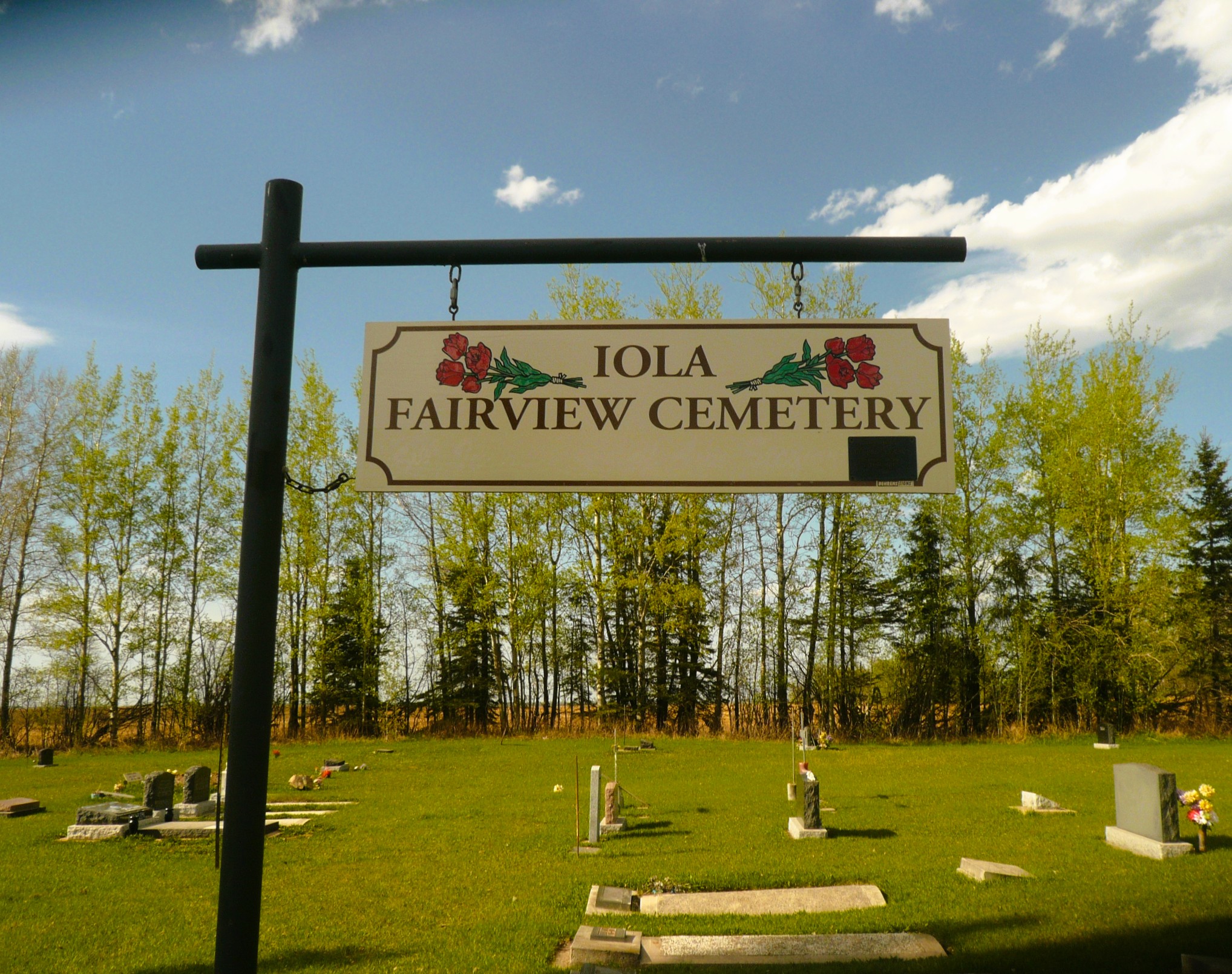
Iola Fairview Cemetery, located in Bluffton, Alberta, is a testament to the region’s rich history and the lives of its early settlers. Situated at SW 05-44-03 W5, approximately 5.8 kilometers west of Highway 20 along Township Road 440, this cemetery serves as a historical marker for the community.
The cemetery is believed to have been established in the early 20th century, reflecting the settlement patterns of the time. Early pioneers in the area were predominantly of European descent, including German and Scandinavian immigrants, who brought with them traditions and customs that influenced the development of local communities. These settlers often established small farming communities, and cemeteries like Iola Fairview became central to their social and cultural life.
Over the years, the cemetery has become the final resting place for many individuals who contributed to the growth and development of the Bluffton area. The gravestones within Iola Fairview Cemetery offer insights into the lives of these early residents, with inscriptions that provide valuable genealogical information. For instance, individuals such as Mary Hindal (1833–1915) and Cyrus Saunders (1844–1919) are among those interred here, highlighting the cemetery’s role in preserving local history.
The cemetery is maintained by the local community, with efforts to preserve its historical integrity. Genealogical societies and local historians often visit the site to document and transcribe the inscriptions, ensuring that the stories of those buried there are not forgotten. These records are valuable resources for descendants and researchers interested in the area’s history.
In summary, Iola Fairview Cemetery stands as a silent yet eloquent witness to the history of Bluffton, Alberta. Through its gravestones and the stories they tell, it offers a glimpse into the lives of the individuals who helped shape the community. As such, it remains an important site for historical reflection and genealogical research.
Address
Township Road 440 W of Range Road 34
Nearest Populated Centre: Bluffton,
Province: Alberta
Map Location
Latitude, Longitude
52.75651, -114.40143
Map Location
| Surname | Given Name | Born | Died | Age | Photos | Cemetery | R Code |
|---|---|---|---|---|---|---|---|
The 25 most common surnames found in this cemetery.

The 25 most common given names found in this cemetery.