
Cemetery Rd & Hendricks Dr
Town of Irricana
The town of Irricana is located in the Calgary Metropolitan Region of Alberta. Surrounded by Rocky View County, it is adjacent to Highway 9, approximately 50 kilometres northeast of Calgary. The name of the town is a contraction of the words “irrigation canals”, which are found around the Irricana area. The name dates the town back to the irrigation projects in the area. By 1909, the town had a post office, hotel and store operated by the Irricana Trading Company. Originally incorporated as a village on June 9, 1911, Irricana changed its status to a town 94 years later on June 9, 2005. Irricana celebrated its centennial in 2011. (Source: https://en.wikipedia.org/wiki/Irricana)
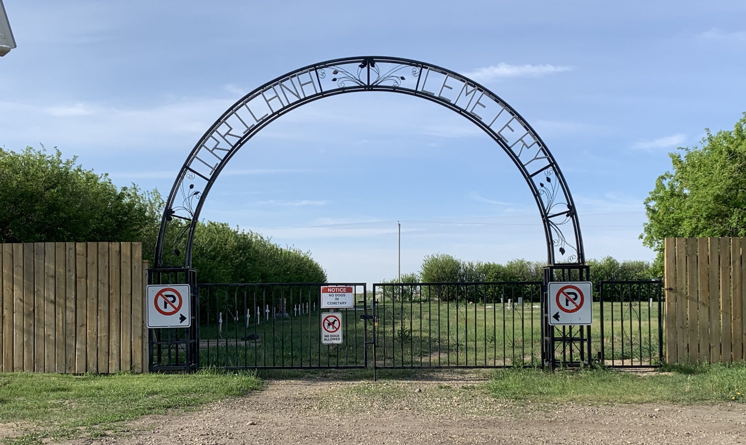
Irricana Town Cemetery
The Irricana Town Cemetery is 2 acres of land located in SW 21-27-26-W4 in the province of Alberta. The cemetery was established well before 1907 according to locals. In 1859 Captain Palliser had a buffalo slaughter camp on site which is now the Town of Irricana. Irricana was incorporated as a Village on 9 June 1911. The cemetery didn’t come into the Village boundaries until 1982. The Village became a Town on 9 June 2005. (Source: https://www.findagyrave.com/cemetery/2362131/village-cemetery)
The cemetery is operated by the Town of Irricana according to Municipal Bylaw 02.2010. The complete bylaw document may be viewed at https://townofirricana.ca/wp-content/uploads/2021/02/Bylaw-02.2010.pdf
Address
Cemetery Rd & Hendricks Dr
Nearest Populated Centre: Irricana,
Province: Alberta
Map Location
Latitude, Longitude
51.31467, -113.60380
Map Location
| Surname | Given Name | Born | Died | Age | Photos | Cemetery | R Code |
|---|---|---|---|---|---|---|---|
The 25 most common surnames found in this cemetery.

The 25 most common given names found in this cemetery.