Courtesy of Medicine Hat and District Genealogical Society (MHDGS)

Deaths

Longevity

Address

Twp Rd 74 & Range Rd 31
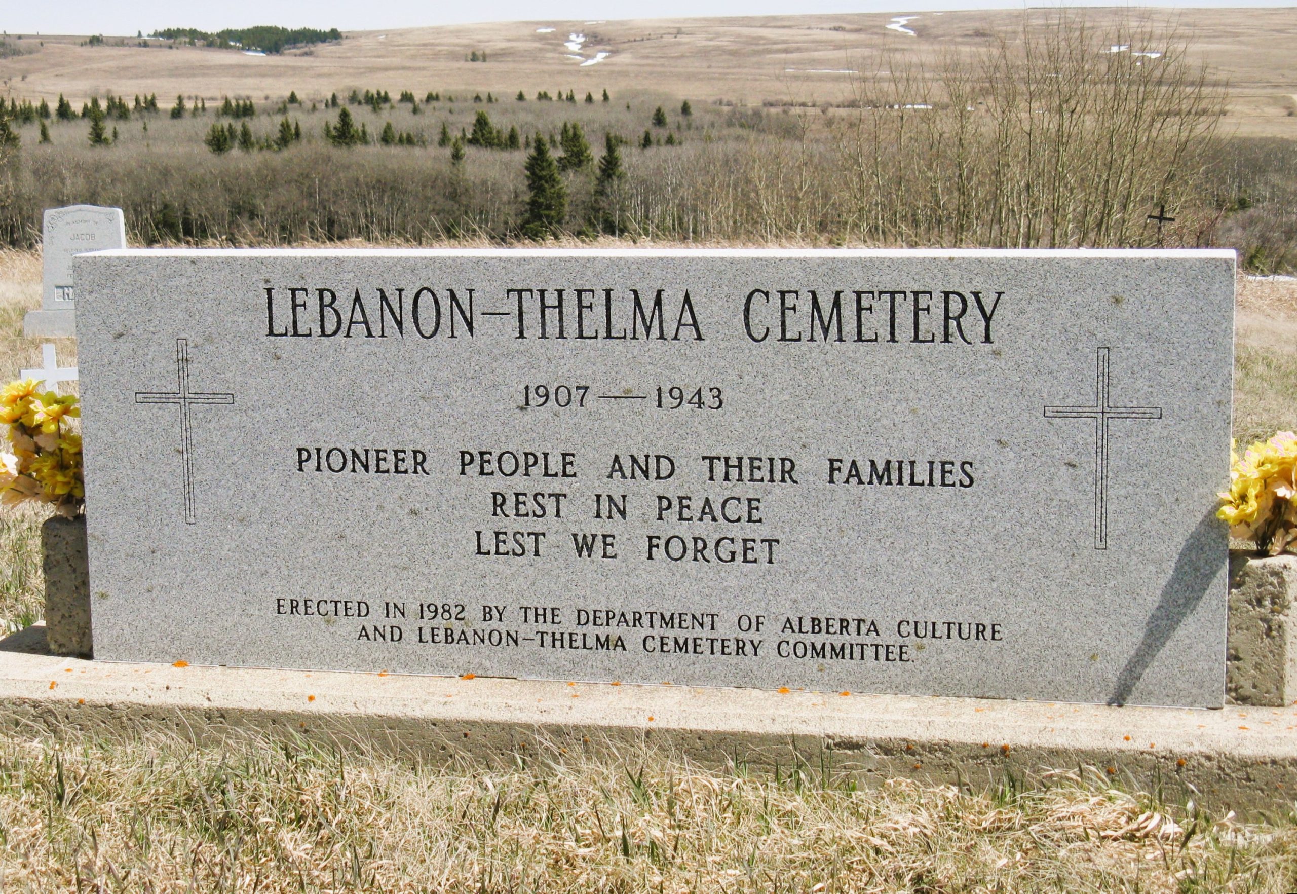
Nearest Populated Centre: Irvine,
Province: Alberta

Map Location

Latitude, Longitude
49.60307, -110.29783

Map Location

Search for:
RESET
Surname Given Name Born Died Age Photo(s) Cemetery Obituary Narrative R Code

The 25 most common surnames found in this cemetery.

loader

The 25 most common given names found in this cemetery.

loader

Other Cemeteries

Munson Cemetery (Starland County)

Highway 9 south of Munson , Munson , Alberta

Benalto Cemetery (Red Deer County)

Range Road 25 S of Township Road 385 , Benalto , Alberta

Comrey Cemetery (Forty Mile County)

Range Rd 62 north of Twp Road 22 , Manyberries , Alberta

Church of God Cemetery (Schuler, Cypress County)

Twp Rd 162 & Rge Rd 23 , Schuler , Alberta

Knoll Cemetery (Michichi, Starland County)

Township Road 31-0 E of Highway 849 , Michichi , Alberta

Beiseker Zion United Cemetery (Rocky View County)

Range Rd 272 west of Range Rd 253 , Beiseker , Alberta

Richdale Cemetery (Special Area No. 2)

Highway 9 west of Hamlet of Richdale , Richdale , Alberta

Woolford Cemetery (Cardston County)

Highway 502 S of Township Road 31A , Woolford , Alberta

Rosebud Cemetery (Wheatland County)

Twp Rd 272 , Rosebud , Alberta

Bow City Cemetery (Newell County)

Rge Rd 165 north of Hwy 539 , Brooks , Alberta

Discover Alberta Ancestors