Courtesy of Medicine Hat and District Genealogical Society (MHDGS)

Deaths

Longevity

Address

Twp Rd 74 & Range Rd 31
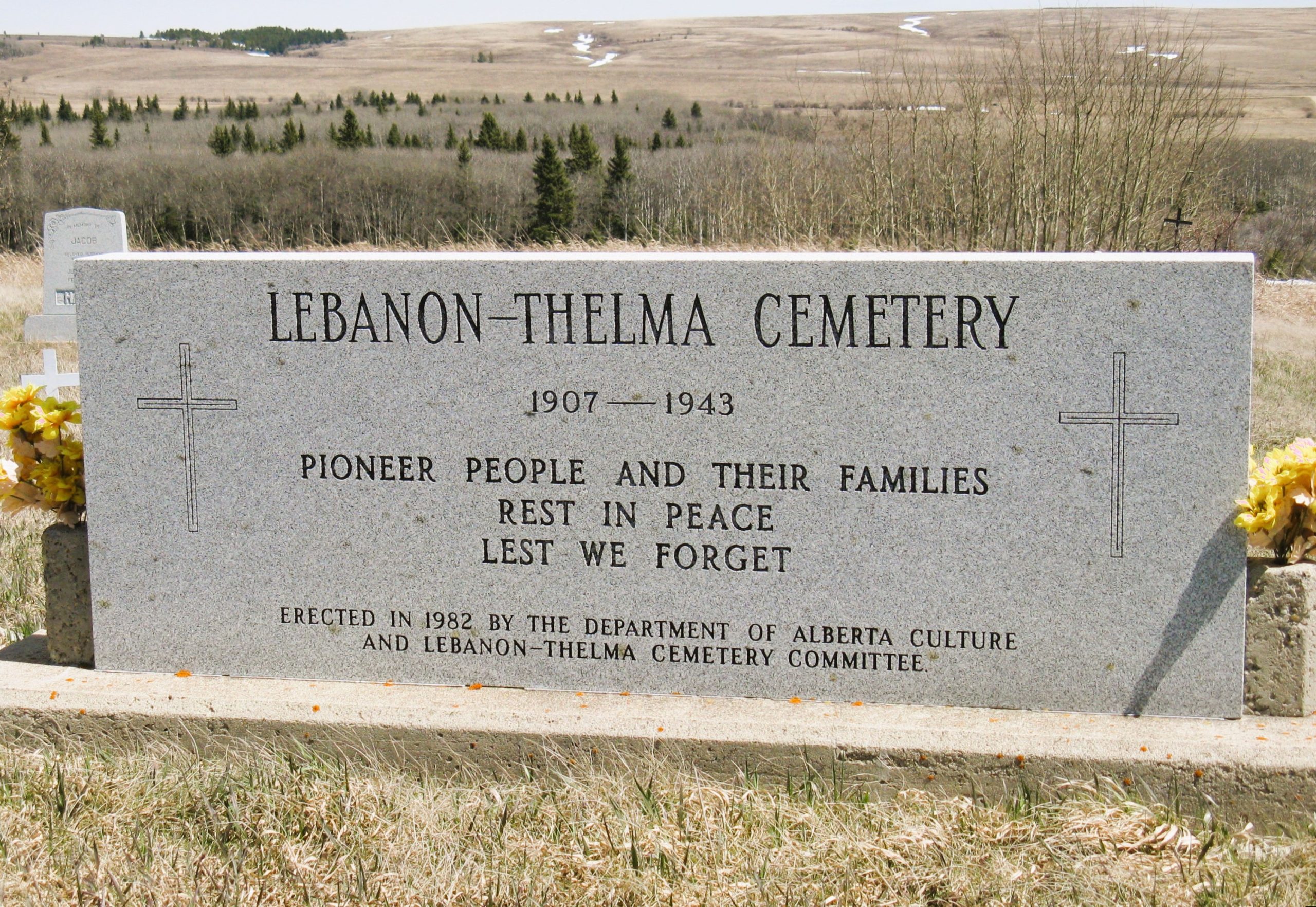
Nearest Populated Centre: Irvine,
Province: Alberta

Map Location

Latitude, Longitude
49.60307, -110.29783

Map Location

Search for:
RESET
Surname Given Name Born Died Age Photos Cemetery R Code

The 25 most common surnames found in this cemetery.

loader

The 25 most common given names found in this cemetery.

loader

Other Cemeteries

Evangelical Lutheran Church of Zion (Forty Mile County)

Township Road 62 and Range Road 55, east of Highway 889 , Manyberries , Alberta

Lomond Cemetery

Highway 531 & Range Road 202 , Lomond , Alberta

Fertile Plains Cemetery (Forty Mile County)

Highway 885, Township Road 85, Range Road 102 , Maleb, Bow Island area , Alberta

Dakota Cemetery (Ponoka County)

434015 Range Rd 273 , Ponoka , Alberta

Rosemary Catholic Cemetery (Newell County)

Old #1 Highway and East Gem Road , Rosemary , Alberta

Linden Cemetery (Kneehill County)

303081 Range Road 253 , Linden , Alberta

Sacred Heart Cemetery (Faith, Forty Mile County)

Township Road 41 and Range Road 100 , Nemiskam , Alberta

Bismark Lutheran Cemetery (Ponoka County)

Highway 792 N of Township Road 432 , Crestomere , Alberta

Leavitt Cemetery (Cardston County)

Range Road 265 N of Highway 5 , Leavitt , Alberta

Winnifred Cemetery (Forty Mile County)

Just south of Gate Avenue between Albert St and Park St , Winnifred , Alberta

Discover Alberta Ancestors