Courtesy of Medicine Hat and District Genealogical Society (MHDGS)

Deaths

Longevity

Address

Eagle Butte Rd (Range Rd 51) and Twp Rd 100
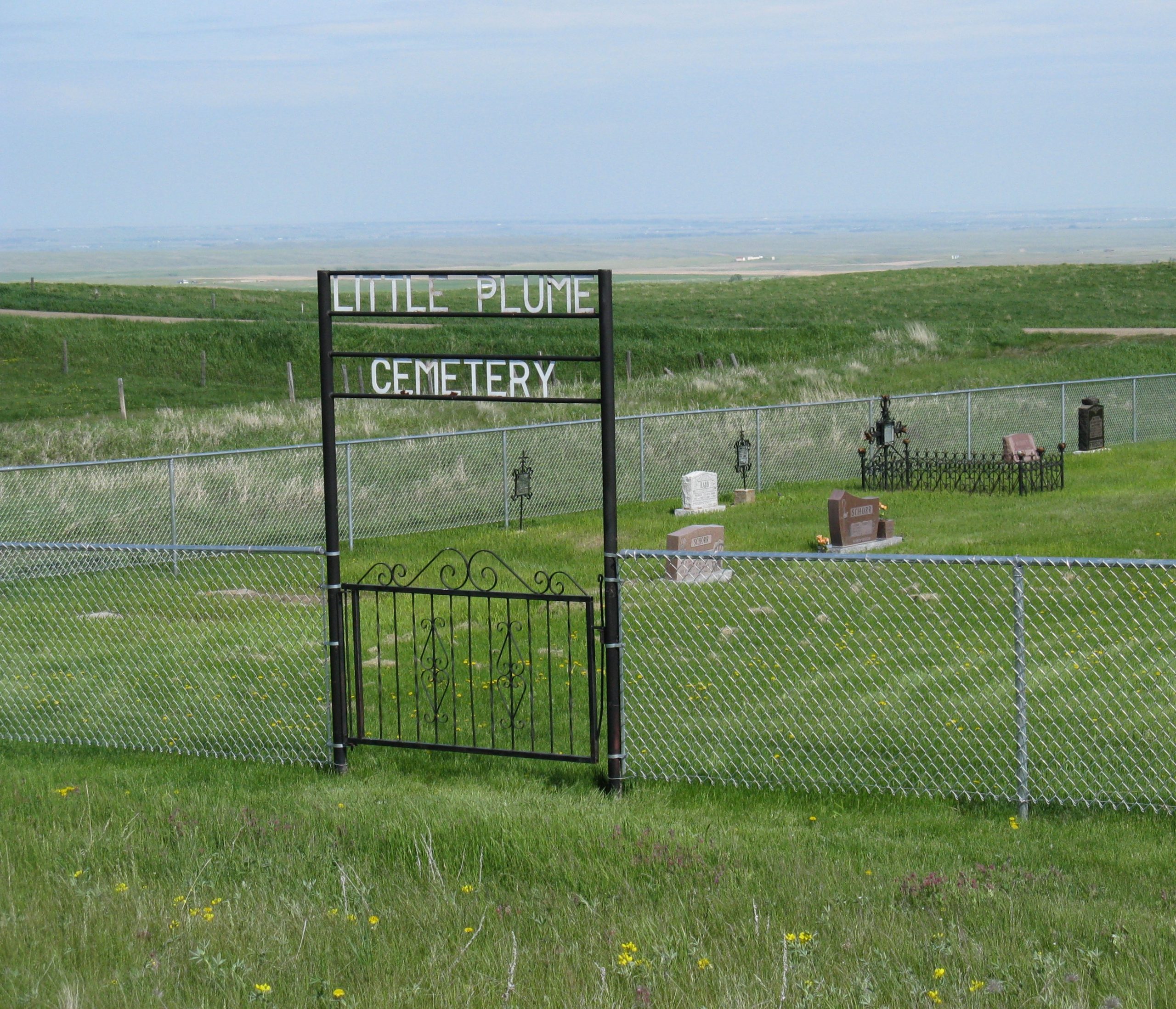
Nearest Populated Centre: South of Dunmore,
Province: Alberta

Map Location

Latitude, Longitude
49.78588, -110.56908

Map Location

Search for:
RESET
Surname Given Name Born Died Age Photo(s) Cemetery Obituary Narrative R Code

The 25 most common surnames found in this cemetery.

loader

The 25 most common given names found in this cemetery.

loader

Other Cemeteries

Highland Cemetery (Forty Mile County)

Township Road 120 and Range Road 84 , Whitla , Alberta

Cremona Community Cemetery (Mountain View County)

Township Rd 295B & Highway 580 , Cremona , Alberta

St. Cecilia's Cemetery (Nanton, MD of Willow Creek)

Range Rd 282, north of Hwy 533 , Nanton , Alberta

Bloomsbury Pentecostal Cemetery (Barrhead County)

Township Road 604 and Range Road 35 , Bloomsbury , Alberta

Chancellor Cemetery (Wheatland County)

S of AB 561E on Twp Rd 245A , Chancellor , Alberta

Barons Cemetery (Lethbridge County)

Twp Rd 23 south of Rge Rd 520 , Barons , Alberta

St. Anthony's Cemetery (Maleb, Forty Mile County)

Township Road 91 and Range Road 91 , Maleb , Alberta

Richdale Cemetery (Special Area No. 2)

Highway 9 west of Hamlet of Richdale , Richdale , Alberta

Adam Wolfer Family Cemetery (Cypress County)

Twp Rd 202 & Rge Rd 11 , Sandy Point , Alberta

Zion Baptist Cemetery (Hesketh, Kneehill County)

Range Road 222A south of Highway 9 , Hesketh , Alberta

Discover Alberta Ancestors