Deaths

Longevity

Address

Highway 570 and Range Road 151
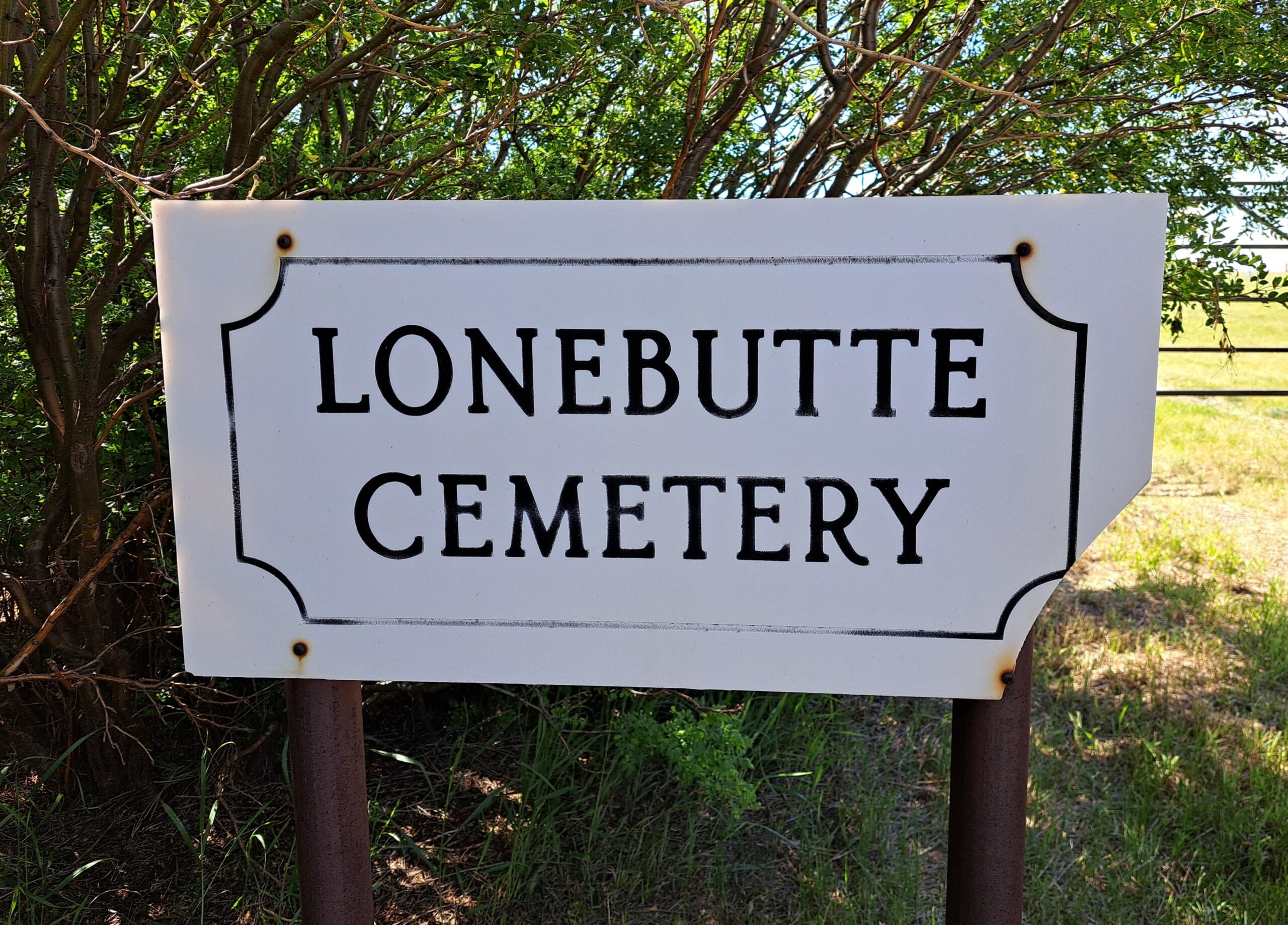
Nearest Populated Centre: Dorothy,
Province: Alberta

Map Location

Latitude, Longitude
51.26987, -111.99776

Map Location

Search for:
RESET
Surname Given Name Born Died Age Photo(s) Cemetery Obituary Narrative R Code

The 25 most common surnames found in this cemetery.

loader

The 25 most common given names found in this cemetery.

loader

Other Cemeteries

Taylorville Cemetery (Cardston County)

Range Road 242A S of Township Road 14 , Taylorville , Alberta

Travers Cemetery (Vulcan County)

Township Rd 154 and Range Rd 193 , Lomond , Alberta

Kimball Cemetery (Cardston County)

Township Road 21 / Range Road 250(B) N of Kimball , Kimball , Alberta

St. Joseph's Cemetery (Schuler, Cypress County)

Twp Rd 162 and Rge Rd 13 , Schuler , Alberta

Reid Hill Cemetery (Vulcan County)

East of Vulcan at Rge Rd 230 , Vulcan , Alberta

Gladys Union Cemetery (Foothills County)

370004 240 St E , Gladys , Alberta

Prospy Cemetery (Forty Mile County)

Highway 885, Township Road 81 and Range Road 92 , Etzikom , Alberta

Zion Cemetery (Many Islands, Cypress County)

Township Road 132 and Range Road 21 , Many Islands , Alberta

Discover Alberta Ancestors