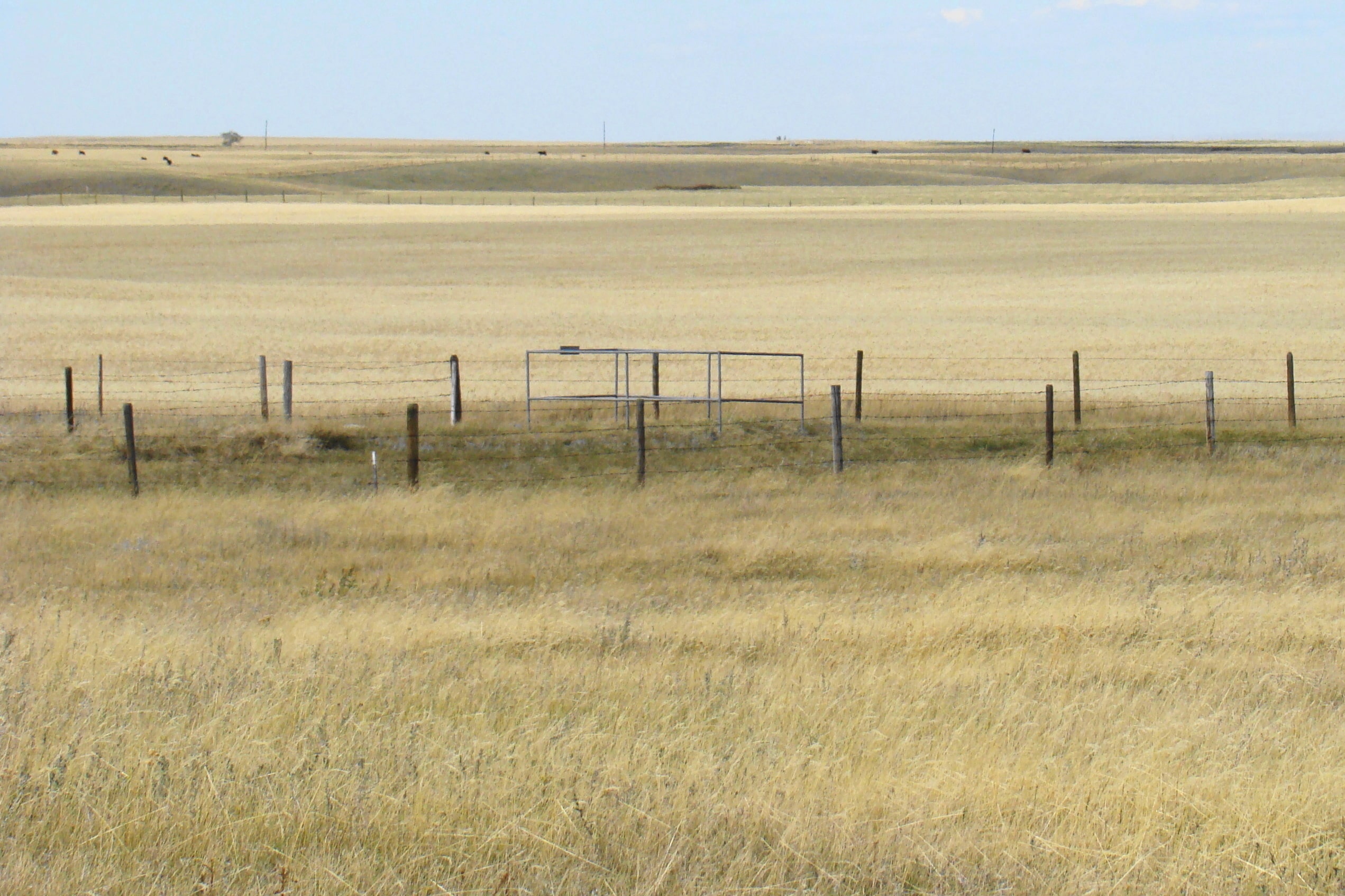
Other than the one monument pictured in October 2008, there was no evidence of any other burials at this cemetery, although the grounds are fenced. The plot is located near the junction of Township Fence Line 101 and Range Road 32, or two miles west and eleven miles south of Irvine, Alberta, Canada.

Courtesy of Medicine Hat and District Genealogical Society (MHDGS)

Deaths

Longevity

Address

Twp Rd 101 & Rge Rd 32
Nearest Populated Centre: Neuberg (south of Irvine),
Province: Alberta

Map Location

Latitude, Longitude
49.8005, -110.3221

Map Location

Search for:
RESET
Surname Given Name Born Died Age Photos Cemetery R Code

The 25 most common surnames found in this cemetery.

loader

The 25 most common given names found in this cemetery.

loader

Other Cemeteries

St. Anne's Cemetery (Josephburg, Cypress County)

East of Range Road 30, south of Township Road 94 , Josephburg , Alberta

Lomond Cemetery (Vulcan County)

Highway 531 & Range Road 202 , Lomond , Alberta

Arrowwood Cemetery (Vulcan County)

Range Rd 233 just south of Twp Rd 205 , Arrowwood , Alberta

Hutton-Pandora Cemetery (Special Area No. 2)

Township Road 242 E of Highway 36 , Hutton , Alberta

Torrington Zion Lutheran Cemetery (Kneehill County)

322043 Rge Rd 261 , Torrington , Alberta

Blackie Cemetery (Foothills County)

490001 Hwy 799 , Blackie , Alberta

Zion Cemetery (Many Islands, Cypress County)

Township Road 132 and Range Road 21 , Many Islands , Alberta

Caldwell - Belly River Cemetery (Cardston County)

Highway 800 S of Highway 505 , Mountain View , Alberta

St. Mary's Cemetery (Cochrane, Rocky View County)

423 Centre Ave N , Cochrane , Alberta

Discover Alberta Ancestors