
Twp Rd 100 & Rge Rd 41
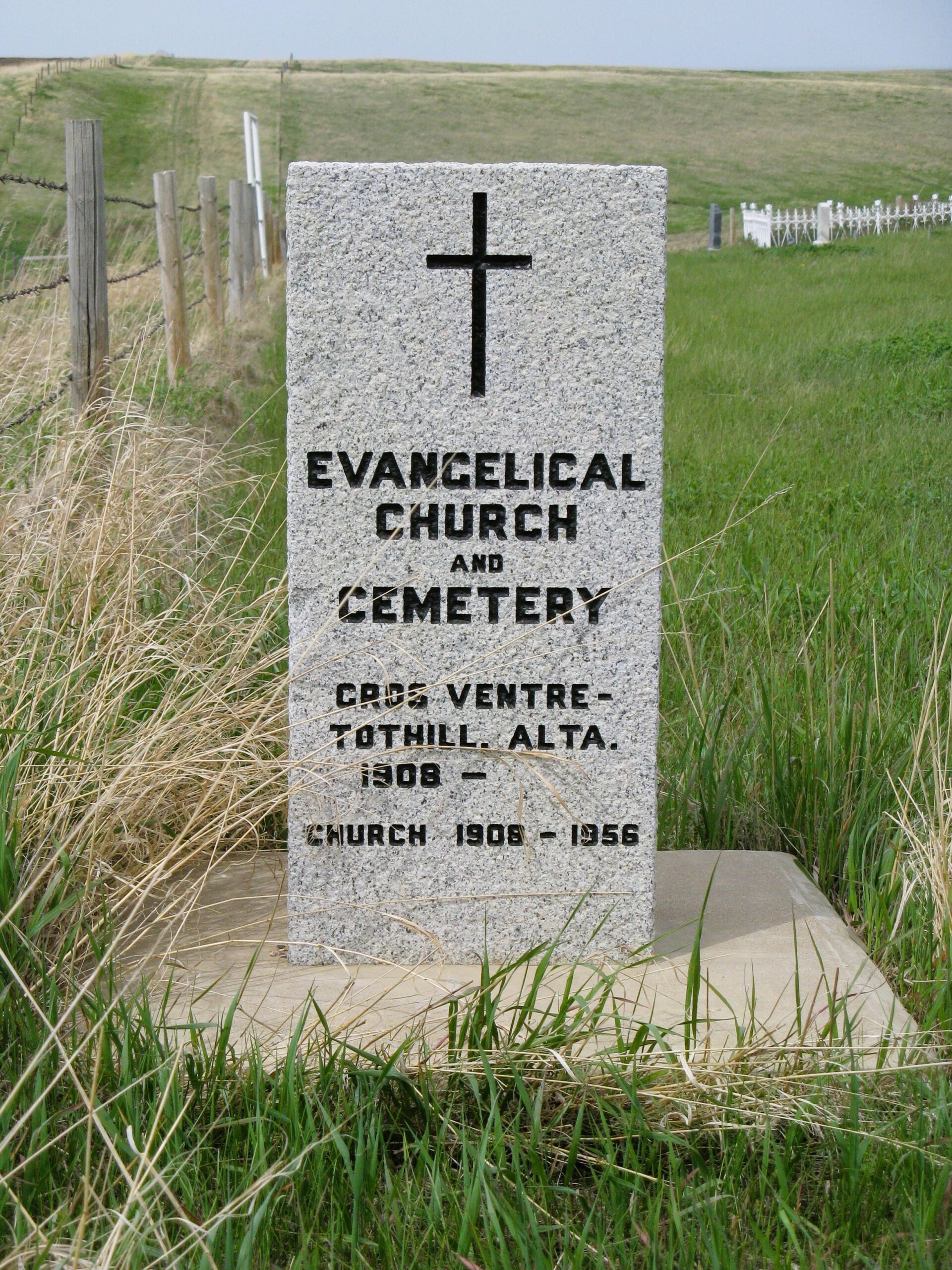
The Evangelical Zion Church was built in 1908, by the men from this community. Mr. Gottlieb Freimark was one of the many volunteers who helped in the construction. The church building is no longer on this property. The property for this church was donated by Michael and Barbara Rath in 1908.As at September 06, 1996, there is a very good four wire fence around this half acre plot but the vegetation has not been cut. There are only two visible stone markers in the tall grasses.
To access the cemetery, travel south on Eagle Butte Road to Township Road 100, then six miles east. The cemetery is in the southwest corner on the Marvin Rath property.
Courtesy of Medicine Hat and District Genealogical Society (MHDGS)
Address
Twp Rd 100 & Rge Rd 41
Nearest Populated Centre: Gros Ventre,
Province: Alberta
Map Location
Latitude, Longitude
49.78663, -110.43366
Map Location
| Surname | Given Name | Born | Died | Age | Photos | Cemetery | R Code |
|---|---|---|---|---|---|---|---|
The 25 most common surnames found in this cemetery.

The 25 most common given names found in this cemetery.