
Range Road 212 between Township Roads 190 and 192
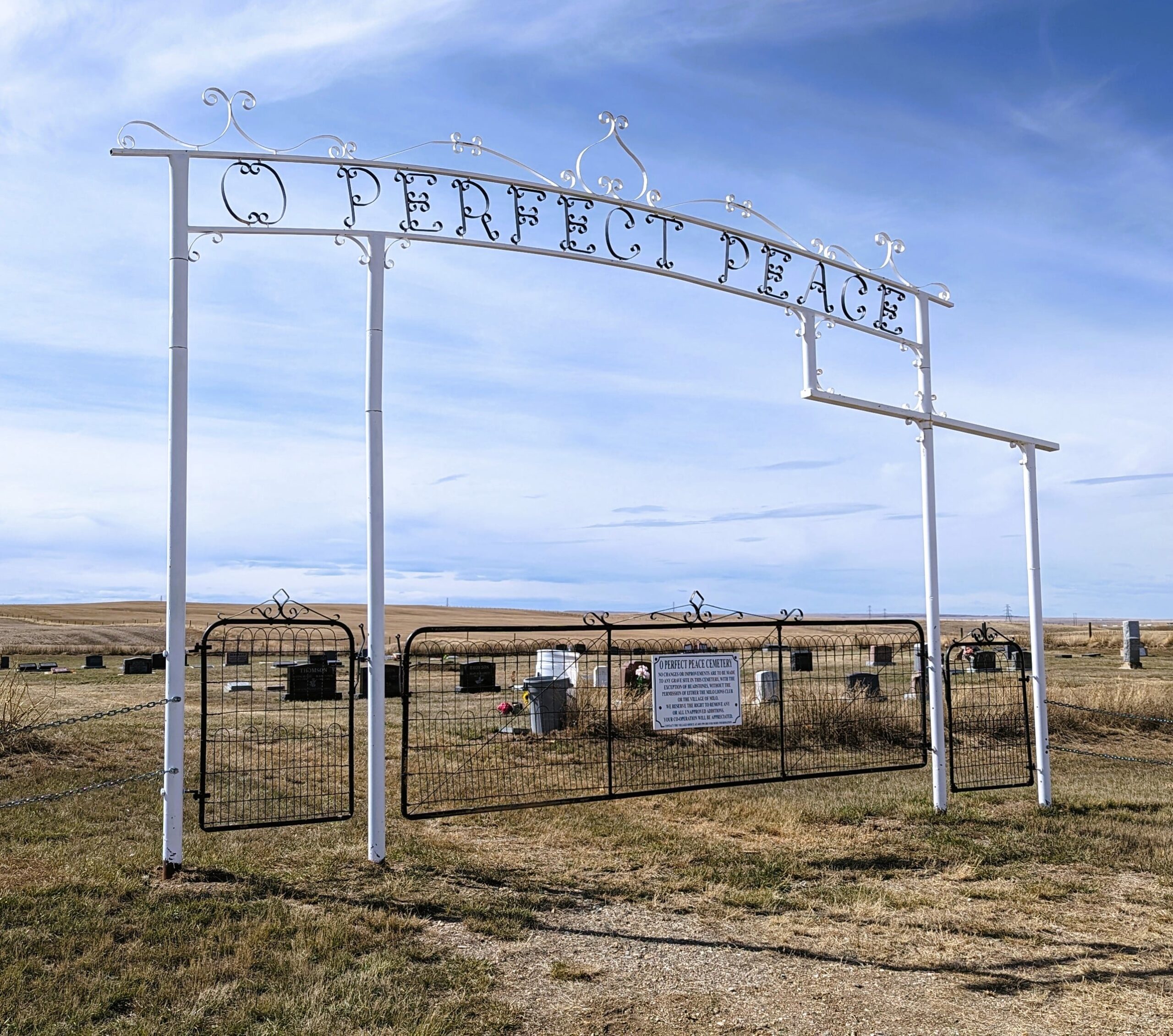
This cemetery is located near Milo, a village on Secondary Highway 542, approximately 90 kilometres southeast of Calgary. In 1907 Ontario born Milo Munroe (circa 1865 – 1928) homesteaded north of Vulcan and opened a post office in his farmhouse the following year. Despite his brief tenure as postmaster, this railway village retains Munroe’s first name. The Canadian Pacific Railway bypassed the original Milo settlement when it arrived in 1924, and the railway company laid out the present village at that time. Milo was incorporated in 1931. Milo Munroe died in Calgary.
Address
Range Road 212 between Township Roads 190 and 192
Nearest Populated Centre: Milo,
Province: Alberta
Map Location
Latitude, Longitude
50.58638, -112.8217
Map Location
| Surname | Given Name | Born | Died | Age | Photos | Cemetery | R Code |
|---|---|---|---|---|---|---|---|
The 25 most common surnames found in this cemetery.

The 25 most common given names found in this cemetery.