Courtesy of Medicine Hat and District Genealogical Society (MHDGS)

Deaths

Longevity

Address

Highway 885, Township Road 85, Range Road 102
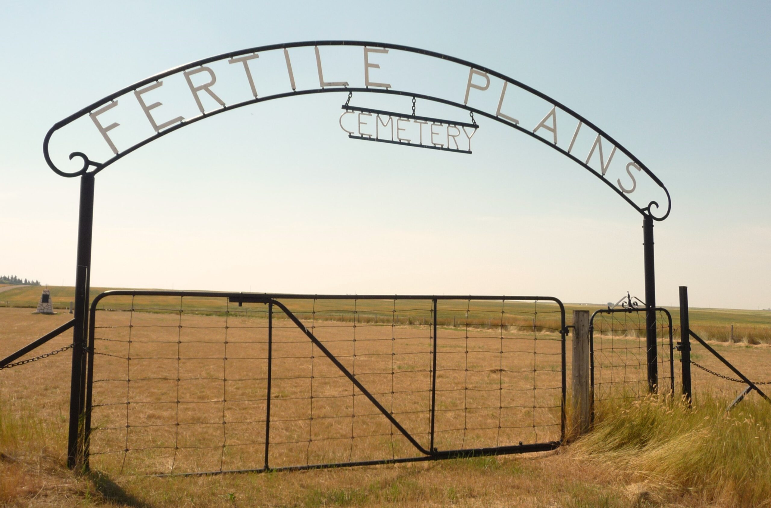
Nearest Populated Centre: Maleb, Bow Island area,
Province: Alberta

Map Location

Latitude, Longitude
49.66891, -111.26948

Map Location

Search for:
RESET
Surname Given Name Born Died Age Photo(s) Cemetery Obituary Narrative R Code

The 25 most common surnames found in this cemetery.

loader

The 25 most common given names found in this cemetery.

loader

Other Cemeteries

Swalwell Cemetery (Kneehill County)

295037 Rge Rd 243 , Swalwell , Alberta

Eventide Cemetery (Wheatland County)

Hwy 547 , Gleichen , Alberta

Rainy Hills Cemetery (Special Area No. 2)

Township Road 204 E of Range Road 103 , Iddesleigh , Alberta

Brant Cemetery (Vulcan County)

Hwy 804 south of Twp Rd Twp Rd 182 , Brant , Alberta

St. Andrew's Cemetery (Gladys, Foothills County)

Highway 547 & 192 St , Gladys , Alberta

Bottrel Cemetery (Rocky View County)

Range Rd 43 & Township Rd 283 , Bottrel , Alberta

Kootenai Brown Cemetery (Waterton Lakes National Park)

Highway 5, Waterton Park , Waterton , Alberta

Christ Lutheran Cemetery (Red Deer County)

Township Road 370 and Range Road 32 , Spruce View , Alberta

Lomond Cemetery

Highway 531 & Range Road 202 , Lomond , Alberta

Frankburg Cemetery (Foothills County)

Range Rd 273, S of Hwy 23 , Frankburg (ghost town south of Blackie) , Alberta

Discover Alberta Ancestors