
Range Rd 235 South of Hwy 3A
Monarch is a hamlet in southern Alberta, Canada within the Lethbridge County. It is located on Highway 3A, approximately 23 kilometres northwest of Lethbridge. In turn, Lethbridge is located 200 kilometres southeast of Calgary. Monarch was formerly a village, existing as such from about 1913 to about 1939.
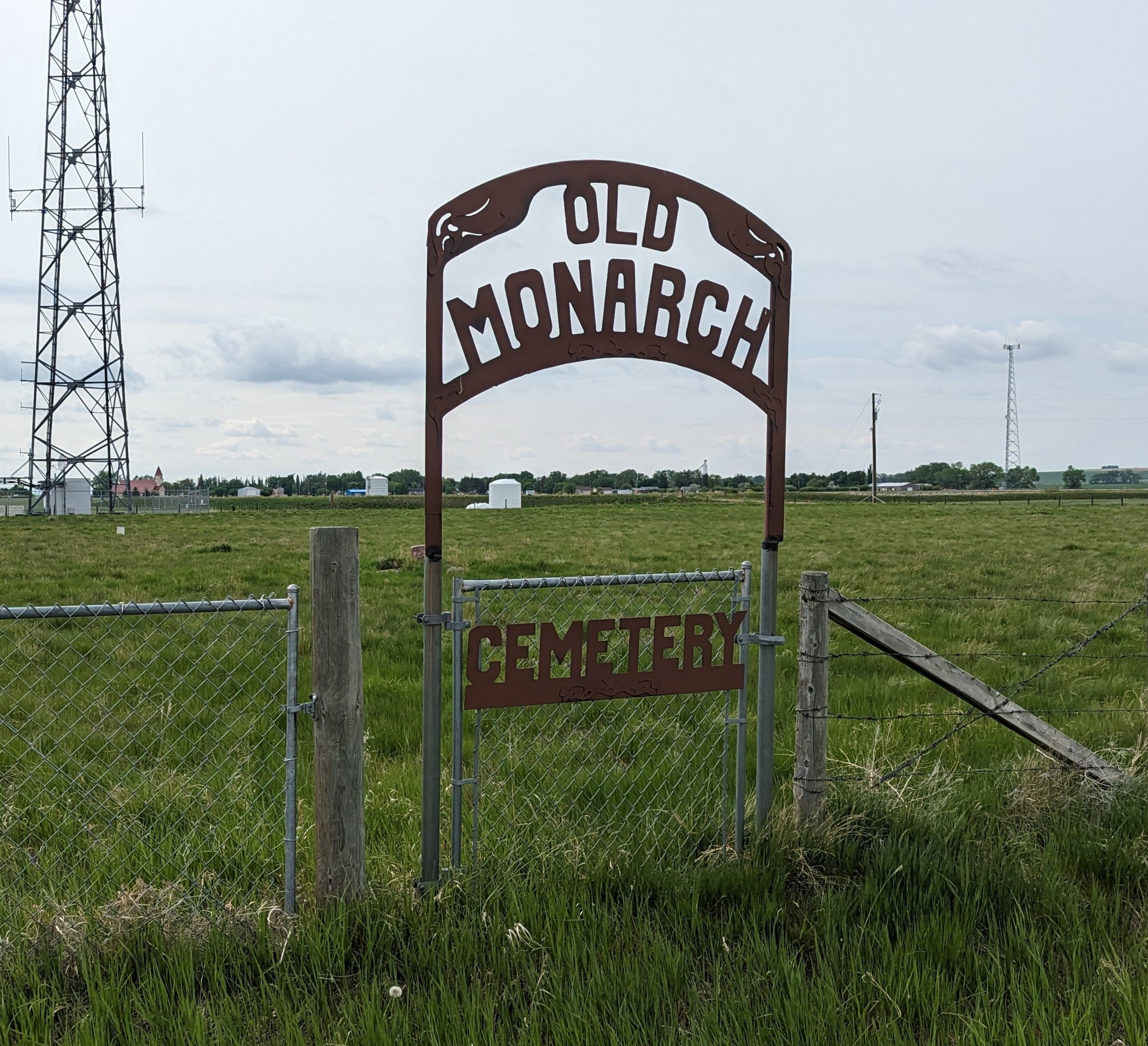
The Monarch or Old Monarch Cemetery is located 1/2 mile east of Monarch, Alberta. It is 1/2 mile south of Highway 3A on Range Road 23-5 and is adjacent to a communications tower. As of 2023, there are just 8 interments at this cemetery.
Address
Range Rd 235 South of Hwy 3A
Nearest Populated Centre: Monarch,
Province: Alberta
Map Location
Latitude, Longitude
49.80046, -113.09513
Map Location
| Surname | Given Name | Born | Died | Age | Photo(s) | Cemetery | Obituary | Narrative | R Code |
|---|---|---|---|---|---|---|---|---|---|
The 25 most common surnames found in this cemetery.

The 25 most common given names found in this cemetery.