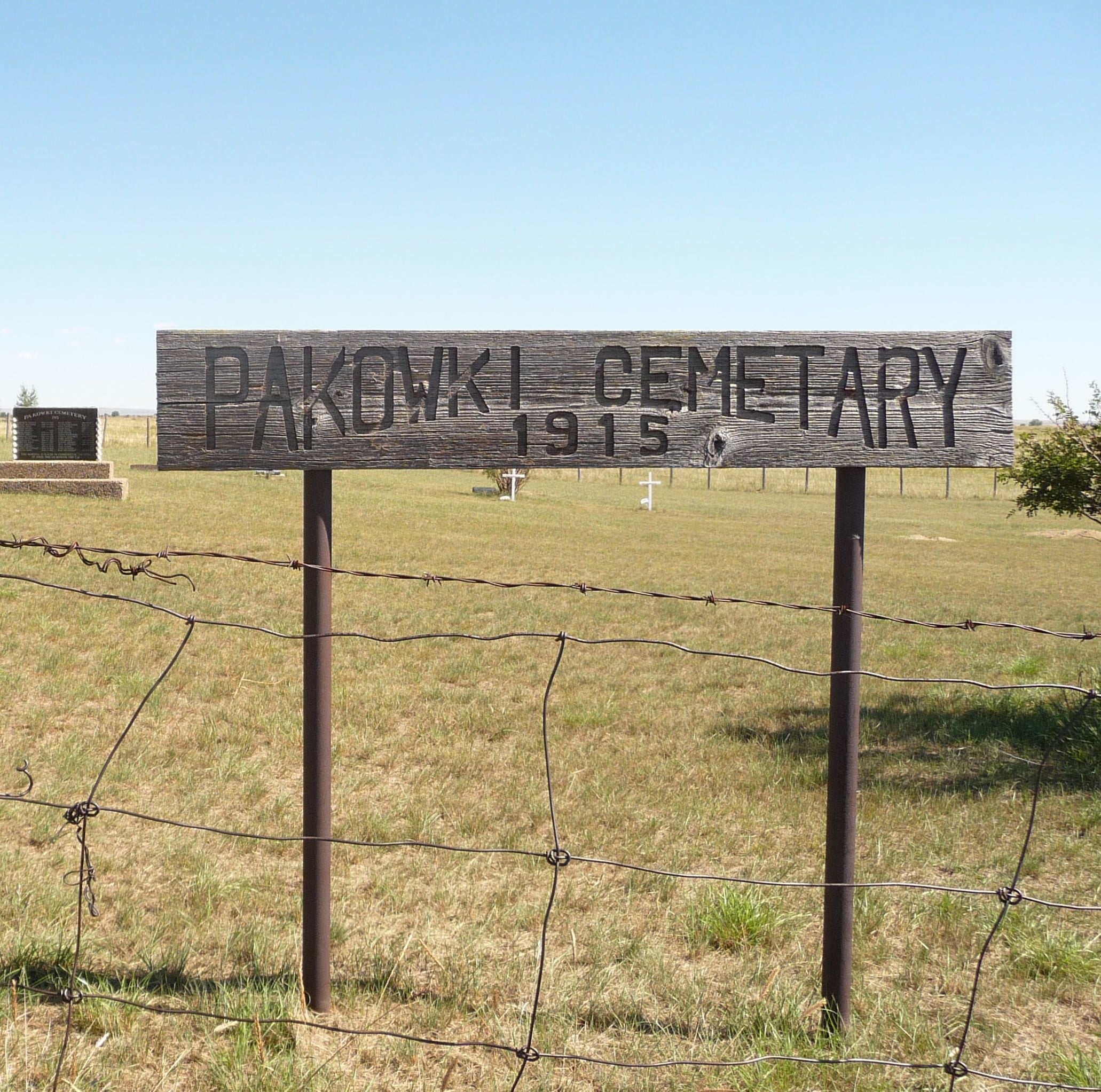
This cemetery is located south of the ghost town of Orion, Alberta in the County of Forty Mile. To reach Pakowki, drive south on highway 61, turn west (right) onto Township Road 52 then turn north (right) on Range Road 73. This is a tiny dead end gravel road and is bordered by farm fields.

Courtesy of Medicine Hat and District Genealogical Society (MHDGS)

Deaths

Longevity

Address

Township Road 52 and Range Road 73
Nearest Populated Centre: Orion,
Province: Alberta

Map Location

Latitude, Longitude
49.39172, -110.87976

Map Location

Search for:
RESET
Surname Given Name Born Died Age Photo(s) Cemetery Obituary Narrative R Code

The 25 most common surnames found in this cemetery.

loader

The 25 most common given names found in this cemetery.

loader

Other Cemeteries

Freudental Carbon Cemetery (Kneehill County)

234002 Twp Rd 284 , Carbon , Alberta

Norwegian Lutheran Cemetery (Cypress County)

Rge Rd 20 and Twp Rd 160 , Schuler , Alberta

Ouelletteville Cemetery (Wheatland County)

Twp Rd 230 just west of Rge Rd 222 , Cluny , Alberta

Wisdom Bethel Evangelical Cemetery (Cypress County)

Range Rd 60 & Twp Rd 90 , Wisdom , Alberta

Trinity Mennonite Church Cemetery (Foothills County)

434 Ave E & 144 St E , Aldersyde , Alberta

Dalum Lutheran Church Cemetery (Wheatland County)

194002 Highway 69 , Dalum , Alberta

Sundre & District Cemetery (Mountain View County)

Range Road 60 , Sundre , Alberta

Comrey Cemetery (Forty Mile County)

Range Rd 62 north of Twp Road 22 , Manyberries , Alberta

Five Mile Cemetery (MD of Willow Creek)

Range Rd 520, east of Claresholm , Claresholm , Alberta

Hand Hills Baptist Cemetery (Special Area No. 2)

Range Road 163 and Township Road 302 , Hanna , Alberta

Discover Alberta Ancestors