
Township Road 102 & Range Road 23
In 1959, through the efforts of Hillcrest Christian College, work began on the Cypress School and an old school house was moved from the Woolchester area to the SE 16-10-02-W4. Services continued until 1970 when the small congregation decided to again close the church. All assets including the building were sold. All that remains at the two locations are badly neglected cemeteries.
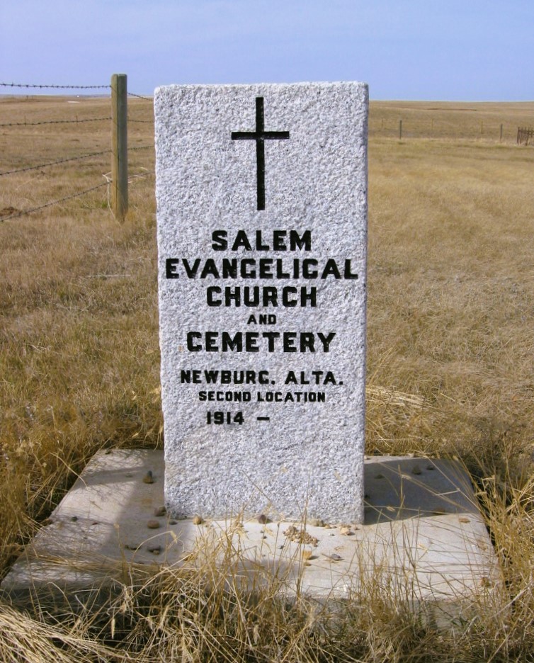
This cemetery is located at the junction of Township Road 102 and Range Road 23, or two miles east and nine miles south of Irvine, Alberta. As at August 20, 1996, there are two double graves on the east end of cemetery and two single metal grave enclosures on west end, all other graves are unmarked.
Courtesy of Medicine Hat and District Genealogical Society (MHDGS)
Address
Township Road 102 & Range Road 23
Nearest Populated Centre: Newburg,
Province: Alberta
Map Location
Latitude, Longitude
49.81615, -110.20877
Map Location
| Surname | Given Name | Born | Died | Age | Photos | Cemetery | R Code |
|---|---|---|---|---|---|---|---|
The 25 most common surnames found in this cemetery.

The 25 most common given names found in this cemetery.