
Highway 547 & 192 St
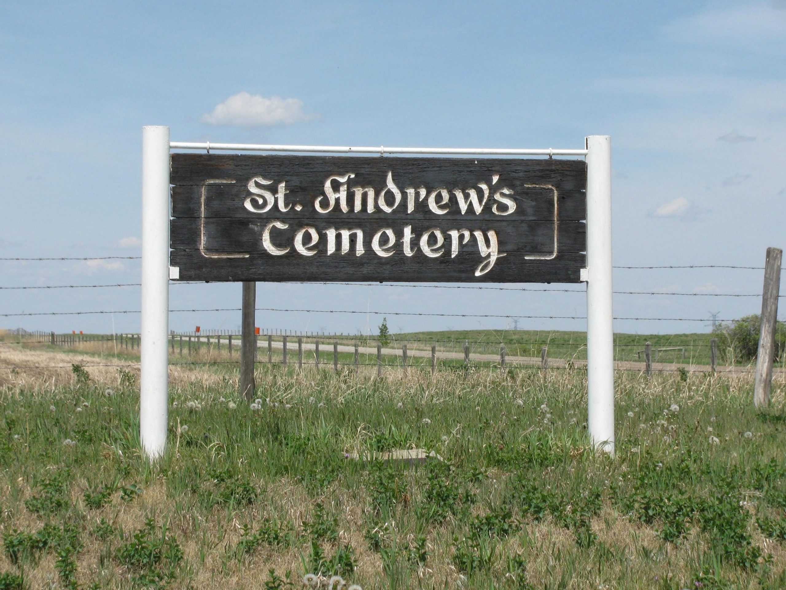
St. Andrew’s Cemetery is located 2 km straight west of the locality of Gladys, in Foothills County. More specifically, it is located at Highway 547 & 192 St. (blue sign). This intersection is also known as 370 Ave. E and 192 St. E. The cemetery is no longer in use but is tended to by neighbours. As of 2022, the cemetery had 19 interments.
The community of Gladys was named after Gladys Harkness. Mail originally came to the Village of High River and the Harknesses would travel to pick up the mail and bring it back to distribute to residents of the district. According to the history book, Gladys–Dinton Through the Years, “People said, ’Let’s go to Gladys’ for the mail,’ so that seemed the logical suggestion for a name for the proposed post office.” The post office opened in the Harkness home in 1890 with Charles Harkness as the first postmaster.
The first school in the area was named Gladys School, built in 1890, located further south. Ridgeview School was built in 1899 at the southwest corner of 29-20-27-W4, and in 1905 a store was built to the south of the school and the post office relocated there. St. Andrew’s Anglican Church was built on the northwest corner in 1907. With development on three corners of the intersection, this corner became known as the Gladys Corner.
The Gladys United Church was built in 1910, east of Ridgeview School. The former Gladys and Cottage one-room schoolhouses were later moved to the Ridgeview school site to provide additional classrooms for the school. Ridgeview continued to serve the community until 1963 when it was closed and students were bused to Blackie or High River. A community hall was established in 1950 in a quonset-style building north of the schoolyard which was well-used for many years. St. Andrew’s Anglican Church was moved to Blackie in 1924, the post office closed in 1938, and the store closed in the 1960s and it became a private home.
All that remains on the once-busy Gladys Corner is the Gladys United Church, a school marker and the former hall on the northeast corner. The Anglican cemetery is on the northwest corner and a private home is on the southeast corner.
Source: https://www.okotoks.ca/sites/default/files/2021-02/Gladys.pdf
Address
Highway 547 & 192 St
Nearest Populated Centre: Gladys,
Province: Alberta
Map Location
Latitude, Longitude
50.71832, -113.72201
Map Location
| Surname | Given Name | Born | Died | Age | Photos | Cemetery | R Code |
|---|---|---|---|---|---|---|---|
The 25 most common surnames found in this cemetery.

The 25 most common given names found in this cemetery.