Deaths

Longevity

Address

Range Rd 282, north of Hwy 533
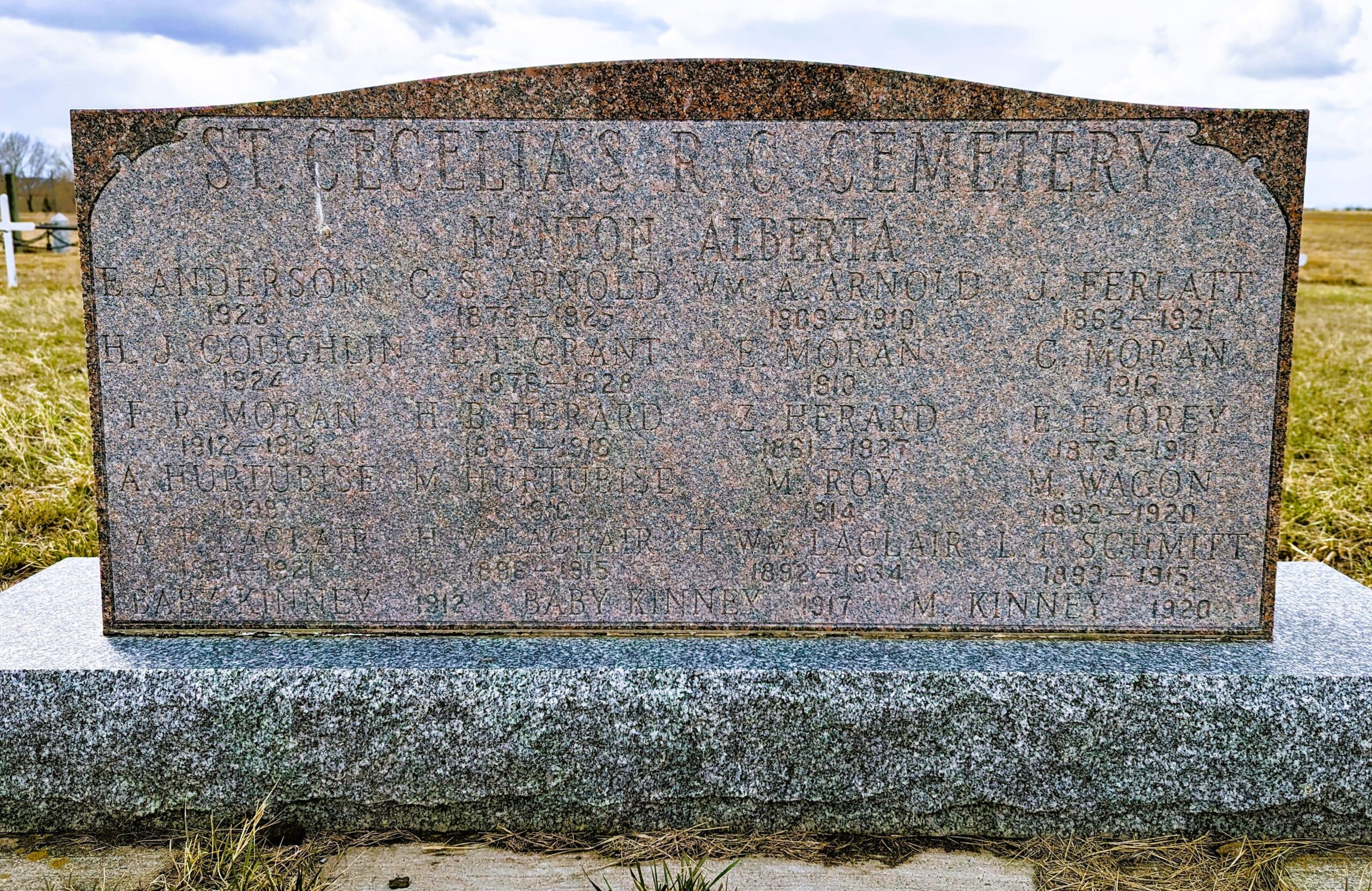
Nearest Populated Centre: Nanton,
Province: Alberta

Map Location

Latitude, Longitude
50.35880, -113.75916

Map Location

Search for:
RESET
Surname Given Name Born Died Age Photo(s) Cemetery Obituary Narrative R Code

The 25 most common surnames found in this cemetery.

loader

The 25 most common given names found in this cemetery.

loader

Other Cemeteries

Bethel Carbon Cemetery (Kneehill County)

Twp Rd 284 & Twp Rd 836 , Carbon , Alberta

Old Monarch Cemetery (Lethbridge County)

Range Rd 235 South of Hwy 3A , Monarch , Alberta

Pendant D'Oreille Cemetery (Forty Mile County)

Township Rd 33 and Range Road 73 , Orion , Alberta

Blairmore Old Union Cemetery (Crowsnest Pass)

25th Ave , Blairmore , Alberta

Patricia Cemetery (Newell County)

Range Road 131 S of Highway 544/876 , Patricia , Alberta

Okotoks Cemetery (Foothills County)

30 Westland Street , Okotoks , Alberta

Hill Spring Cemetery (Cardston County)

Township Rd 43A , Hill Spring , Alberta

Carstairs Cemetery (Mountain View County)

Gough Road , Carstairs , Alberta

Indian Battle Park Cemetery (City of Lethbridge)

200 Indian Battle Road South (Riverbottom) , Lethbridge , Alberta

Ouelletteville Cemetery (Wheatland County)

Twp Rd 230 just west of Rge Rd 222 , Cluny , Alberta

Discover Alberta Ancestors