Deaths

Longevity

Address

Range Rd 282, north of Hwy 533
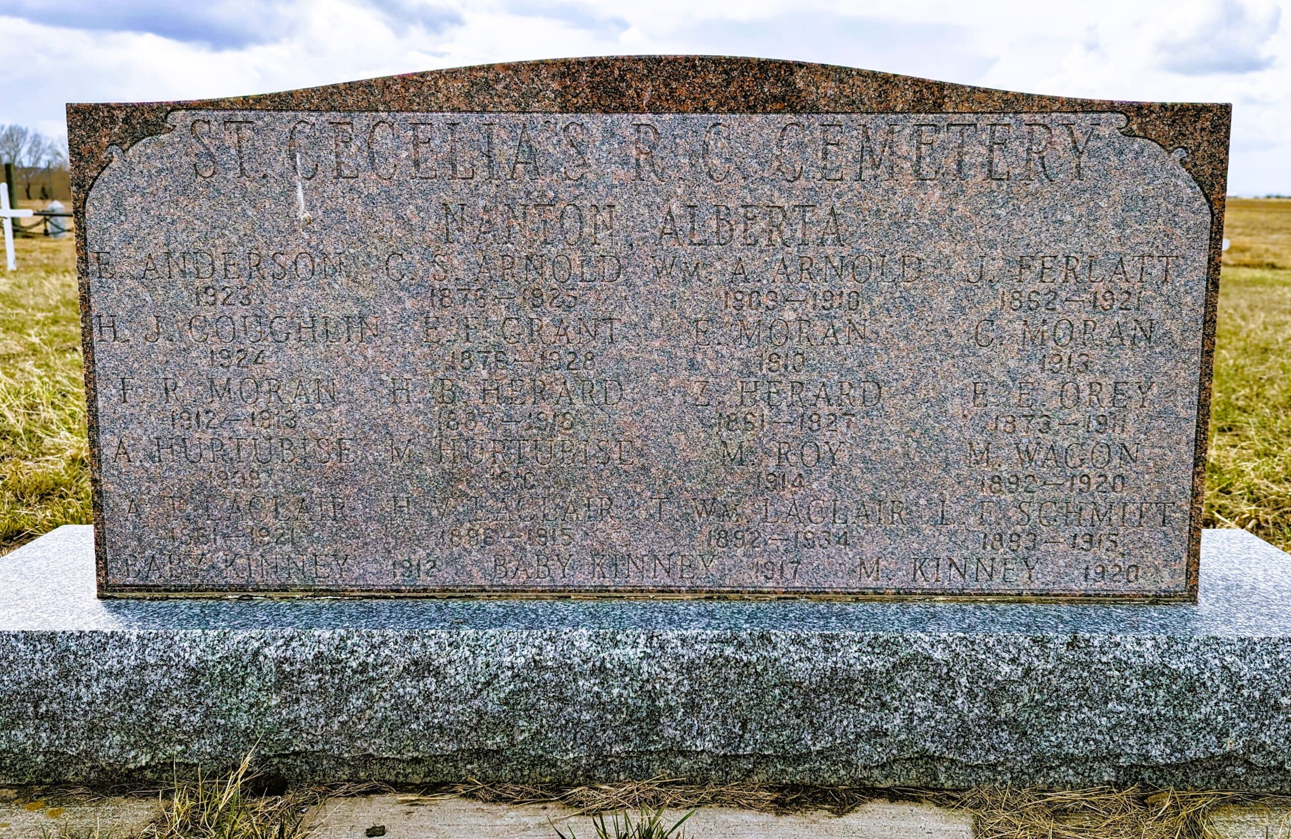
Nearest Populated Centre: Nanton,
Province: Alberta

Map Location

Latitude, Longitude
50.35880, -113.75916

Map Location

Search for:
RESET
Surname Given Name Born Died Age Photo(s) Cemetery Obituary Narrative R Code

The 25 most common surnames found in this cemetery.

loader

The 25 most common given names found in this cemetery.

loader

Other Cemeteries

Whitla Cemetery (Forty Mile County)

Range Road 84 north of Highway 3 , Whitla , Alberta

Champion Cemetery (Vulcan County)

1 St South , Champion , Alberta

Prairie Sky Cemetery (Calgary)

12800 100 St SE , Calgary , Alberta

Coleman Union Cemetery (Crowsnest Pass)

27 Ave & 28 Ave , Coleman , Alberta

Friedensfeld Baptist Cemetery (Cypress County)

Rge Rd 21 and Hwy 528 , Schuler , Alberta

Maerz Cemetery (Kneehill County)

Rge Rd 252 south of Hwy 802, west of Three Hills , Three Hills , Alberta

Alston Cemetery (Vulcan County)

Hwy 527 & Twp Rd 142; SW of Champion , SW of Champion , Alberta

Airdrie Cemetery (Rocky View County)

33 Big Hill Way , Airdrie , Alberta

Discover Alberta Ancestors