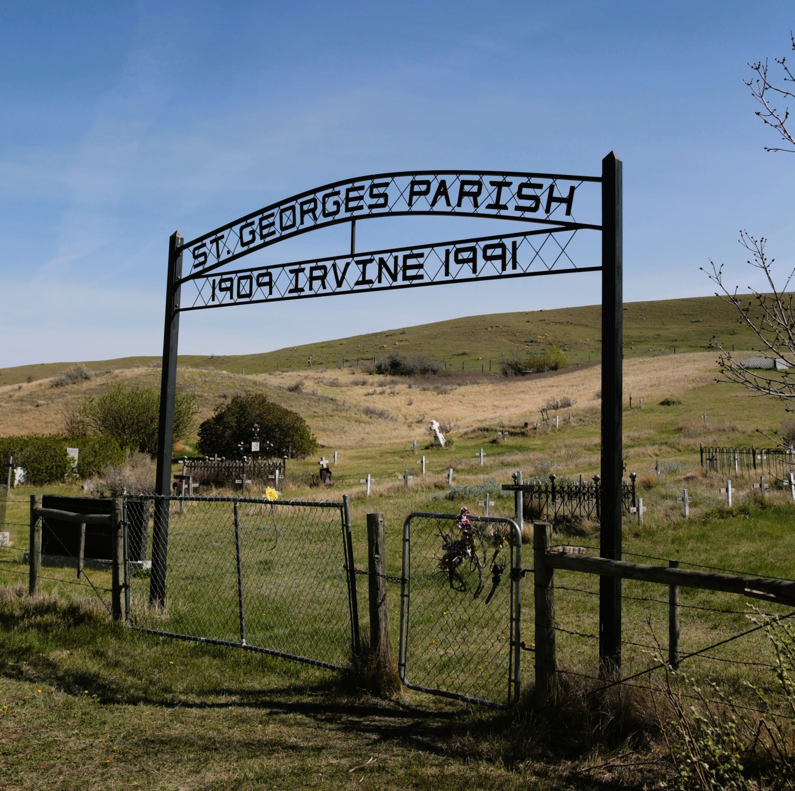
The cemetery is well kept, a cairn listing all those interred here was erected by the 20 Mile Post Historical Society in 1991. The location is about one half mile south of Irvine, Alberta. The original St. George’s Anglican Church building was moved to Clearwater, Alberta, and used by a United congregation for several years.

Courtesy of Medicine Hat and District Genealogical Society (MHDGS)

Deaths

Longevity

Address

Township Road 119 & Range Road 30
Nearest Populated Centre: Irvine,
Province: Alberta

Map Location

Latitude, Longitude
49.95108, -110.28978

Map Location

Search for:
RESET
Surname Given Name Born Died Age Photo(s) Cemetery Obituary Narrative R Code

The 25 most common surnames found in this cemetery.

loader

The 25 most common given names found in this cemetery.

loader

Other Cemeteries

Walsh Community Cemetery (Cypress County)

Township Road 114 and Range Road 13 , Walsh , Alberta

Box Springs Cemetery (Cypress County)

Twp Rd 142 & Range Rd 62 , Redcliff , Alberta

Knoll Cemetery (Michichi, Starland County)

Township Road 31-0 E of Highway 849 , Michichi , Alberta

Sacred Heart Cemetery (Bow Island, Forty Mile County)

Township Road 90 and Range Road 111 , Bow Island , Alberta

Irricana United Church Cemetery (Rocky View County)

Hwy 567 & Range Rd 274 , Irricana , Alberta

Glen Banner Lutheran Cemetery (Forty Mile County)

Township Road 72 and Range Road 64 , Orion , Alberta

Cravath Corners Cemetery (Wardlow, Special Area No. 2)

Range Road 513 S of Cessford , Wardlow , Alberta

Carmangay Cemetery (Vulcan County)

Township Road 235 and Range Road 240 , Carmangay , Alberta

St. Peter's Lutheran Cemetery (Schuler, Cypress County)

Rge Rd 23 between Twp Rd 154 and Hwy 528 , Schuler , Alberta

Discover Alberta Ancestors