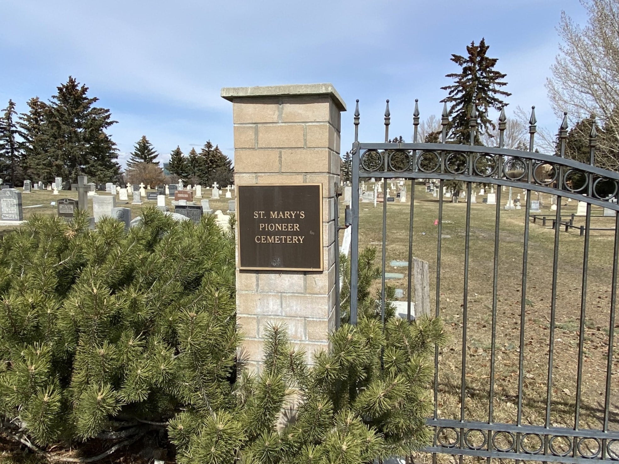
3157 Erlton St SW

In 1876 the Roman Catholic Mission established a burial ground at 24 Avenue and 2nd Street SW. This small grave yard was eventually registered as an official cemetery 10 years later, in 1886. The cemetery closed 11 years later in 1897, and the early graves were exhumed and moved to the site of the new St. Mary’s Cemetery. St. Mary’s was established as one of the city’s first Catholic cemeteries and is one of its oldest.
The City of Calgary assumed management of St. Mary’s Cemetery in 1935. At that time, the cemetery relocated on the west side of Macleod Trail at Erlton Street and 32 Avenue S.W.Over time the cemetery was expanded to the south and east. Its current size is 7 hectares (17acres). The original northern portion of St. Mary’s Cemetery is now known as St. Mary’s Pioneer Cemetery.
St. Mary’s cemetery grounds are open daily from sunrise to sunset. The cemetery features in-ground burial plots, In-ground cremation plots, a Memorial cross, and a new Columbarium Garden. Historical walking tours are available in the summer. The Calgary Heritage Authority has deemed the cemetery to be a historically significant cultural landscape that played an important part in the settlement and establishment of Calgary as a city.
St. Mary’s Pioneer Cemetery has the distinction of being Calgary’s first cemetery and is the final resting place for some of Calgary’s oldest burials. There are approximately 16,000 burials in St. Mary’s Pioneer and St. Mary’s cemeteries, including many Calgary founders and pioneers. One can see many beautiful views of the city from this quiet and restful spot, among gorgeous blossoming trees and evergreens.
Address
3157 Erlton St SW
Nearest Populated Centre: Calgary,
Province: Alberta
Map Location
Latitude, Longitude
51.02621, -114.06322
Map Location
| Surname | Given Name | Born | Died | Age | Photo(s) | Cemetery | Obituary | Narrative | R Code |
|---|---|---|---|---|---|---|---|---|---|
The 25 most common surnames found in this cemetery.

The 25 most common given names found in this cemetery.

