Deaths

Longevity

Address

Highway 840 & Cemetery Road
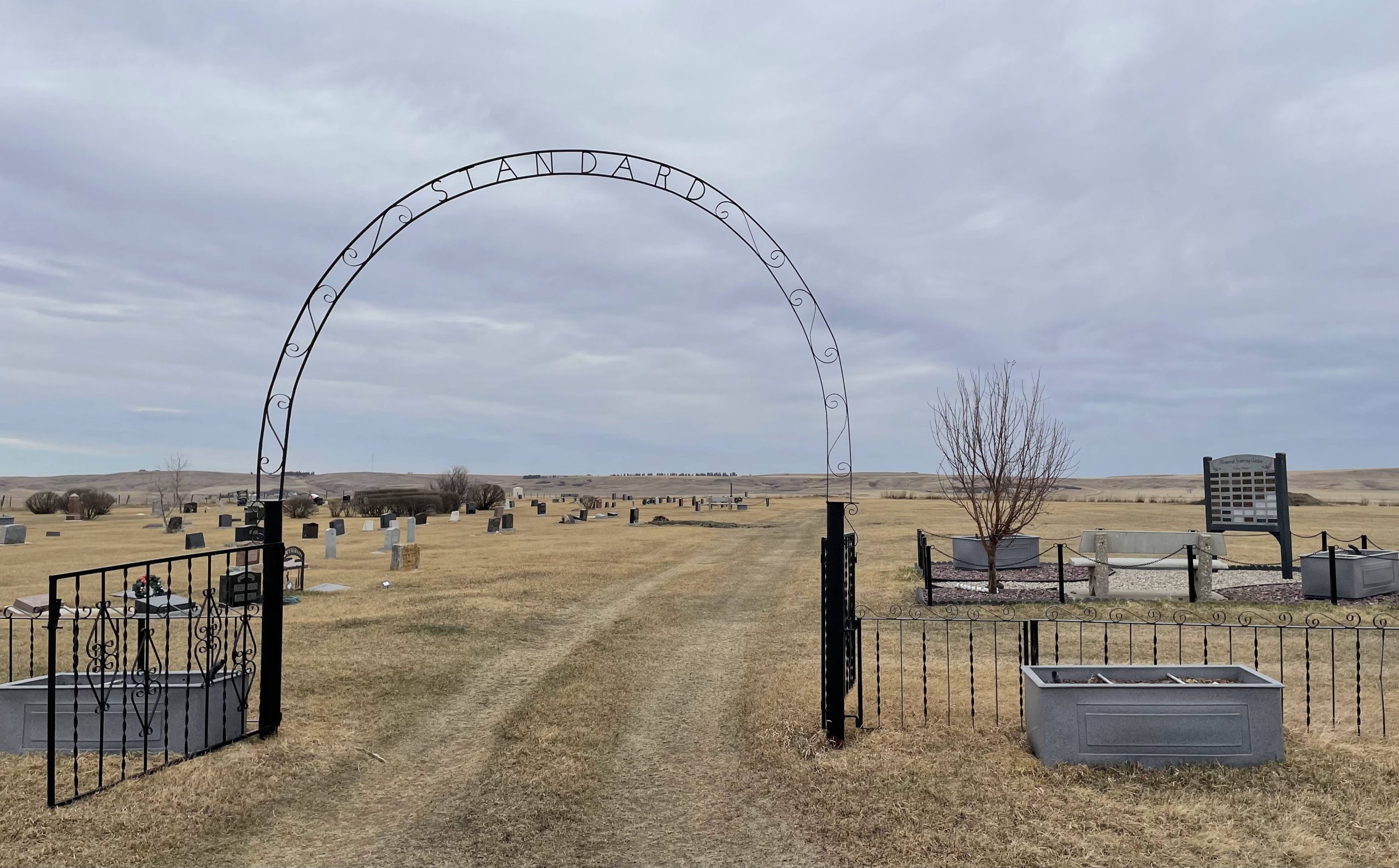
Nearest Populated Centre: Standard,
Province: Alberta

Map Location

Latitude, Longitude
51.11837, -112.98699

Map Location

Search for:
RESET
Surname Given Name Born Died Age Photo(s) Cemetery Obituary Narrative R Code

The 25 most common surnames found in this cemetery.

loader

The 25 most common given names found in this cemetery.

loader

Other Cemeteries

Beth Tzedec Memorial Park (Calgary)

122 Shalom Way SW , Calgary , Alberta

Alston Cemetery (Vulcan County)

Hwy 527 & Twp Rd 142; SW of Champion , SW of Champion , Alberta

Burnbrae Cemetery (Ponoka County)

Township Road 444 east of Highway 771 , Homeglen , Alberta

Ibbestad Cemetery (MD of Taber)

Twp Rd 155 between Rge Roads 180 and 181 , Enchant , Alberta

Gilby Cemetery (Lacombe County)

Range Road 33A S of Highway 12 , Gilby , Alberta

Krasivaya Dolina Doukhobor Cemetery (Vulcan County)

Rge Rd 222 north of Hwy 542 , Queenstown , Alberta

Eagle Hill Cemetery (Mountain View County)

33379 Range Rd 35 , Olds , Alberta

Cessford Cemetery (Special Area No. 2)

Highway 561 E of Highway 876 , Cessford , Alberta

Sharon Cemetery (Vulcan County)

26531-26501 Twp Rd 174, SW of Brant; NE corner of Rge Rd 270 & Twp Rd 174 , SW of Brant , Alberta

Ferrybank Cemetery (Ponoka County)

Highway 795 and Range Road 251 , Ponoka , Alberta

Discover Alberta Ancestors