Deaths

Longevity

Address

Highway 840 & Cemetery Road
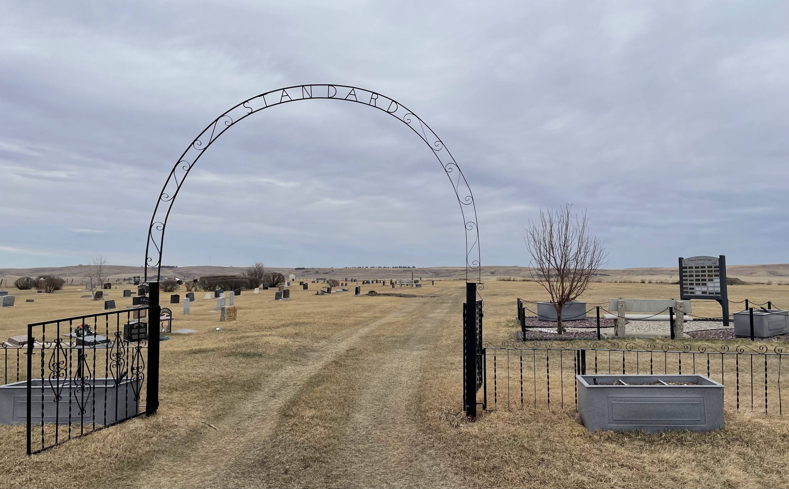
Nearest Populated Centre: Standard,
Province: Alberta

Map Location

Latitude, Longitude
51.11837, -112.98699

Map Location

Search for:
RESET
Surname Given Name Born Died Age Photo(s) Cemetery Obituary Narrative R Code

The 25 most common surnames found in this cemetery.

loader

The 25 most common given names found in this cemetery.

loader

Other Cemeteries

Evangelical Lutheran Church of Zion (Forty Mile County)

Township Road 62 and Range Road 55, east of Highway 889 , Manyberries , Alberta

Indian Battle Park Cemetery (City of Lethbridge)

200 Indian Battle Road South (Riverbottom) , Lethbridge , Alberta

Willow Wilde Cemetery (Barrhead County)

Township Road 582, east of Range Road 23 , Busby , Alberta

Burdett Cemetery (Forty Mile County)

Township Road 103 and Range Road 121 , Burdett , Alberta

Harmattan Nazarene Cemetery (Mountain View County)

Range Rd 40 & Twp Rd 324 , Harmattan , Alberta

St. Stephen's Cemetery (Cardston County)

Range Road 262 N of Township Road 20A , Aetna , Alberta

Chancellor Cemetery (Wheatland County)

S of AB 561E on Twp Rd 245A , Chancellor , Alberta

Church of God Cemetery (Schuler, Cypress County)

Twp Rd 162 & Rge Rd 23 , Schuler , Alberta

Cowley Cemetery (MD of Pincher Creek)

Range Rd 14 , Cowley , Alberta

Discover Alberta Ancestors