Deaths

Longevity

Address

Highway 840 & Cemetery Road
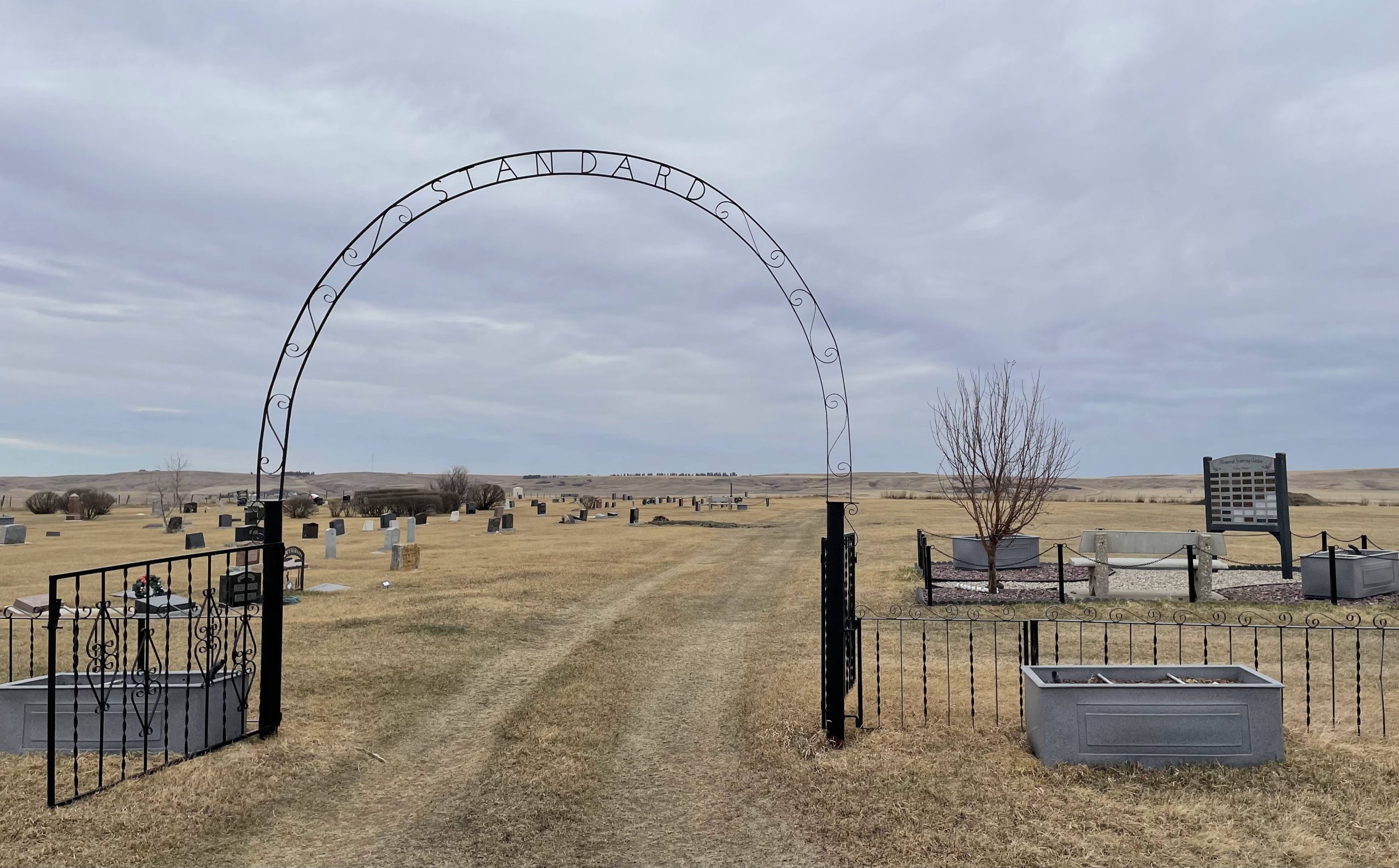
Nearest Populated Centre: Standard,
Province: Alberta

Map Location

Latitude, Longitude
51.11837, -112.98699

Map Location

Search for:
RESET
Surname Given Name Born Died Age Photo(s) Cemetery Obituary Narrative R Code

The 25 most common surnames found in this cemetery.

loader

The 25 most common given names found in this cemetery.

loader

Other Cemeteries

Hutterian Brethren of Elkwater (Cypress County)

Township Road 100 and Range Road 22 , Elkwater , Alberta

Graburn United Church Cemetery (Cypress County)

Twp Rd 100 & Range Rd 12 (Graburn Road) , Walsh , Alberta

Reist Mennonite Cemetery (Special Area No. 2)

Rge Rd 100a, Special Area No. 2 , N of Youngstown , Alberta

Hill Spring Cemetery (Cardston County)

Township Rd 43A , Hill Spring , Alberta

Leavitt Cemetery (Cardston County)

Range Road 265 N of Highway 5 , Leavitt , Alberta

Granum Christian Reformed Cemetery (MD of Willow Creek)

Rge Rd 254 south of Hwy 519 , Granum , Alberta

Glen Banner Lutheran Cemetery (Forty Mile County)

Township Road 72 and Range Road 64 , Orion , Alberta

Bradshaw Cemetery (Ponoka County)

Range Road 40 S of Township Road 414 , Leedale , Alberta

Coffin Handle Butte Cemetery (Vulcan County)

top of Coffin Handle Butte east of Milo AB , Milo , Alberta

Discover Alberta Ancestors