Deaths

Longevity

Address

Highway 21N and North Road (Township Road 332A)
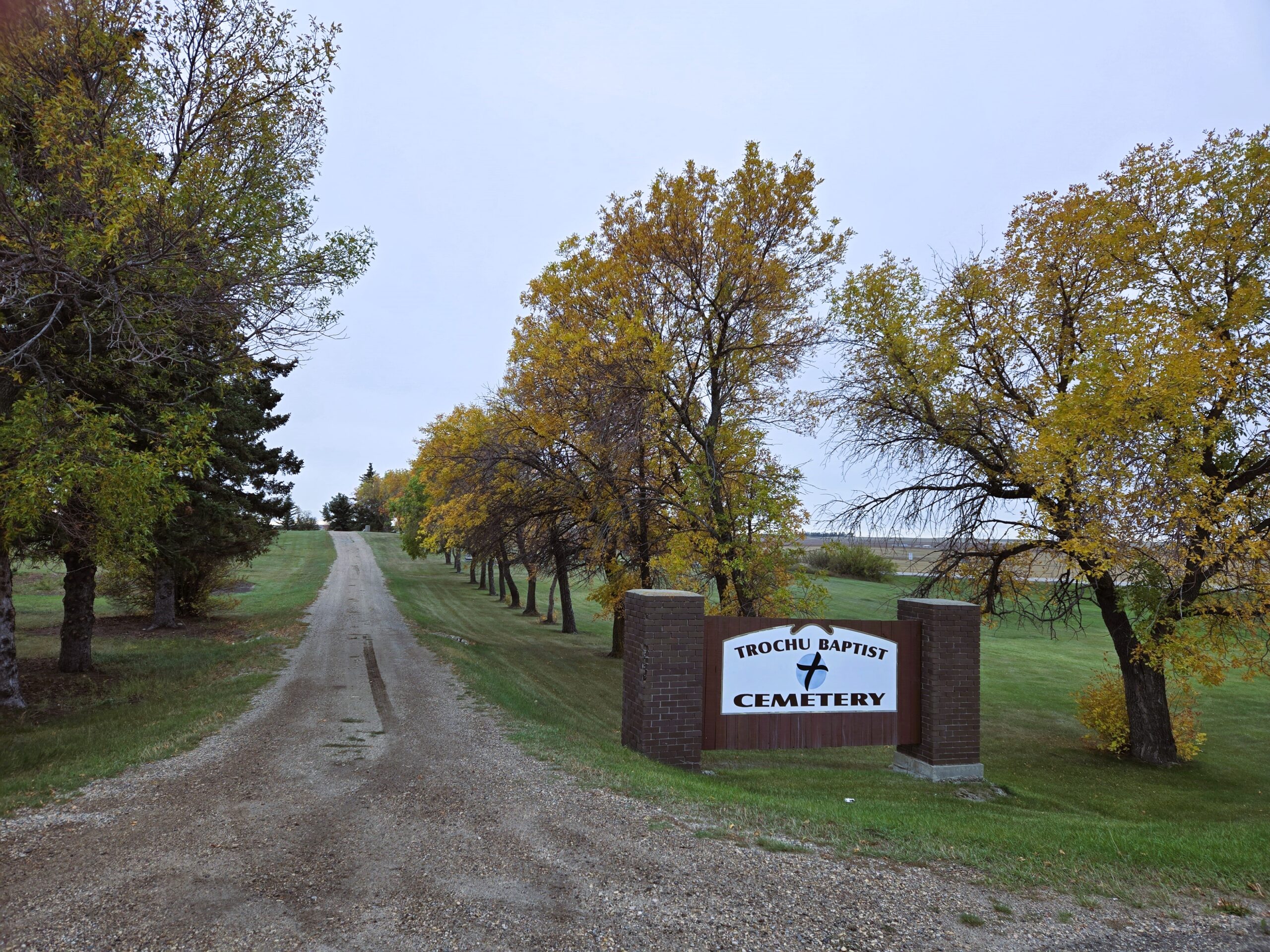
Nearest Populated Centre: Trochu,
Province: Alberta

Map Location

Latitude, Longitude
51.83023, -113.24067

Map Location

Search for:
RESET
Surname Given Name Born Died Age Photos Cemetery R Code

The 25 most common surnames found in this cemetery.

loader

The 25 most common given names found in this cemetery.

loader

Other Cemeteries

St. Paul's Anglican Cemetery (Calgary)

14620 Macleod Tr SE (access off 146 Ave SE & Bannister Rd) , Calgary , Alberta

Huber Family Cemetery (Cypress County)

Twp Rd 200 & Rge Rd 11 , Sandy Point , Alberta

Springbank Cemetery (Rocky View County)

250011 Range Rd 33 , Calgary , Alberta

Harmattan Anglican Cemetery (Mountain View County)

Range Rd 40 S of Hwy 27 , Harmattan , Alberta

Coffin Handle Butte Cemetery (Vulcan County)

top of Coffin Handle Butte east of Milo AB , Milo , Alberta

Pleasant View Cemetery (Forty Mile County)

8 km west of junction of Highway 501 and Range Road 63 , Manyberries , Alberta

Benalto Cemetery (Red Deer County)

Range Road 25 S of Township Road 385 , Benalto , Alberta

Graburn United Church Cemetery (Cypress County)

Twp Rd 100 & Range Rd 12 (Graburn Road) , Walsh , Alberta

Stirling Mennonite Cemetery (Warner County)

Range Road 195 S of Highway 52 , Stirling , Alberta

Discover Alberta Ancestors