Deaths

Longevity

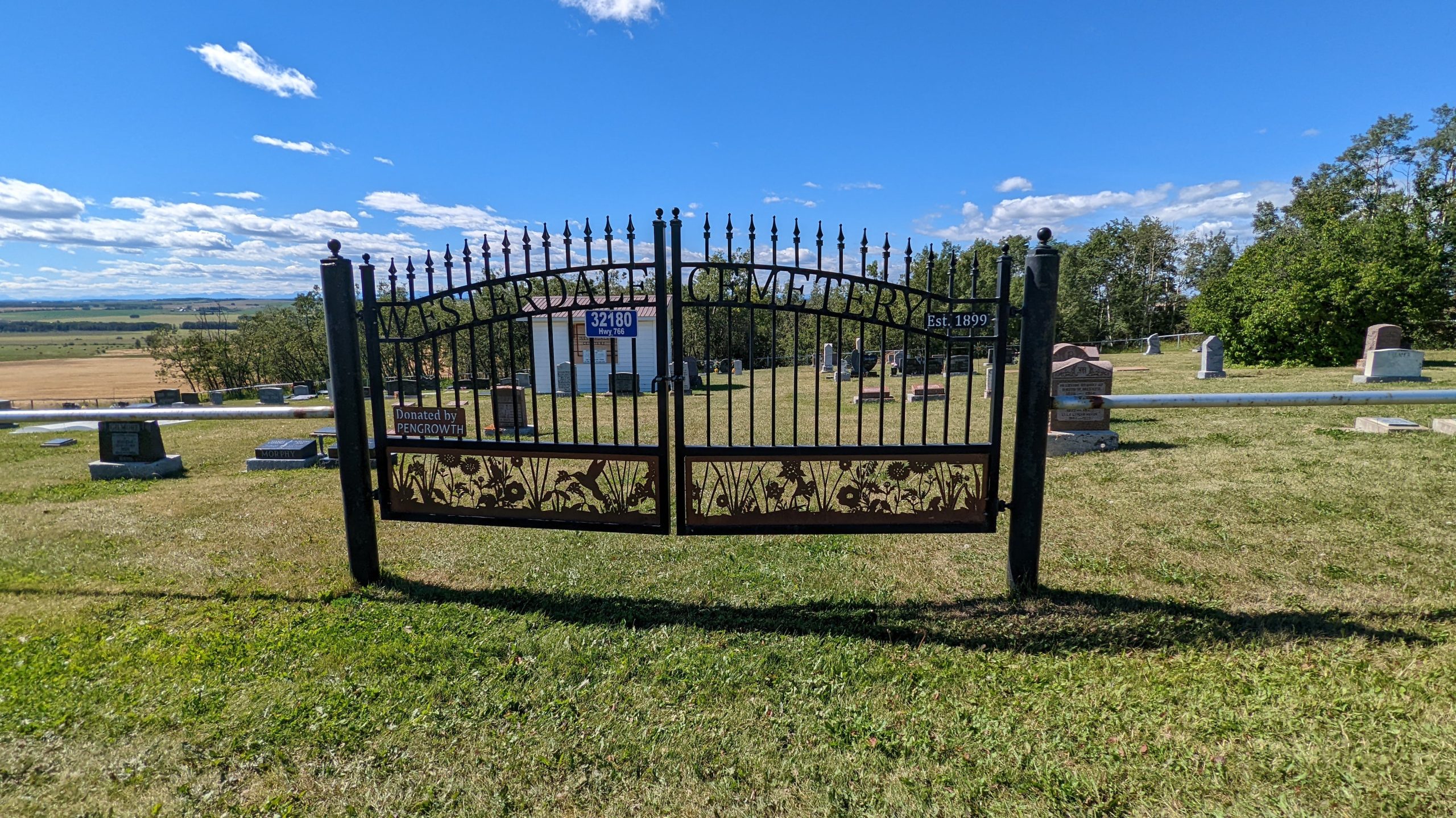
Address

32180 Hwy 766
Nearest Populated Centre: Westerdale,
Province: Alberta

Map Location

Latitude, Longitude
51.73649, -114.33309

Map Location

Search for:
RESET
Surname Given Name Born Died Age Photo(s) Cemetery Obituary Narrative R Code

The 25 most common surnames found in this cemetery.

loader

The 25 most common given names found in this cemetery.

loader

Other Cemeteries

Gilby Cemetery (Lacombe County)

Range Road 33A S of Highway 12 , Gilby , Alberta

Coleman Catholic Cemetery (Crowsnest Pass)

77 St & 27 Ave , Coleman , Alberta

Aspelund Cemetery (Lacombe County)

Range Road 283 S of Township Road 394 / Aspelund Rd , Blackfalds , Alberta

Bradshaw Cemetery (Ponoka County)

Range Road 40 S of Township Road 414 , Leedale , Alberta

Mayton Cemetery (Mountain View County)

27359 Twp Rd 333 , Mayton , Alberta

Berry Creek Cemetery (Special Area No. 2)

Range Road 120 N of Township Road 284 , Berry Creek , Alberta

Taylorville Cemetery (Cardston County)

Range Road 242A S of Township Road 14 , Taylorville , Alberta

Lone Butte Cemetery (Special Area No. 2)

Highway 570 and Range Road 151 , Dorothy , Alberta

Rockyford Union Cemetery (Wheatland County)

Twp Rd 263 & Range Rd 234 , Rockyford , Alberta

Discover Alberta Ancestors