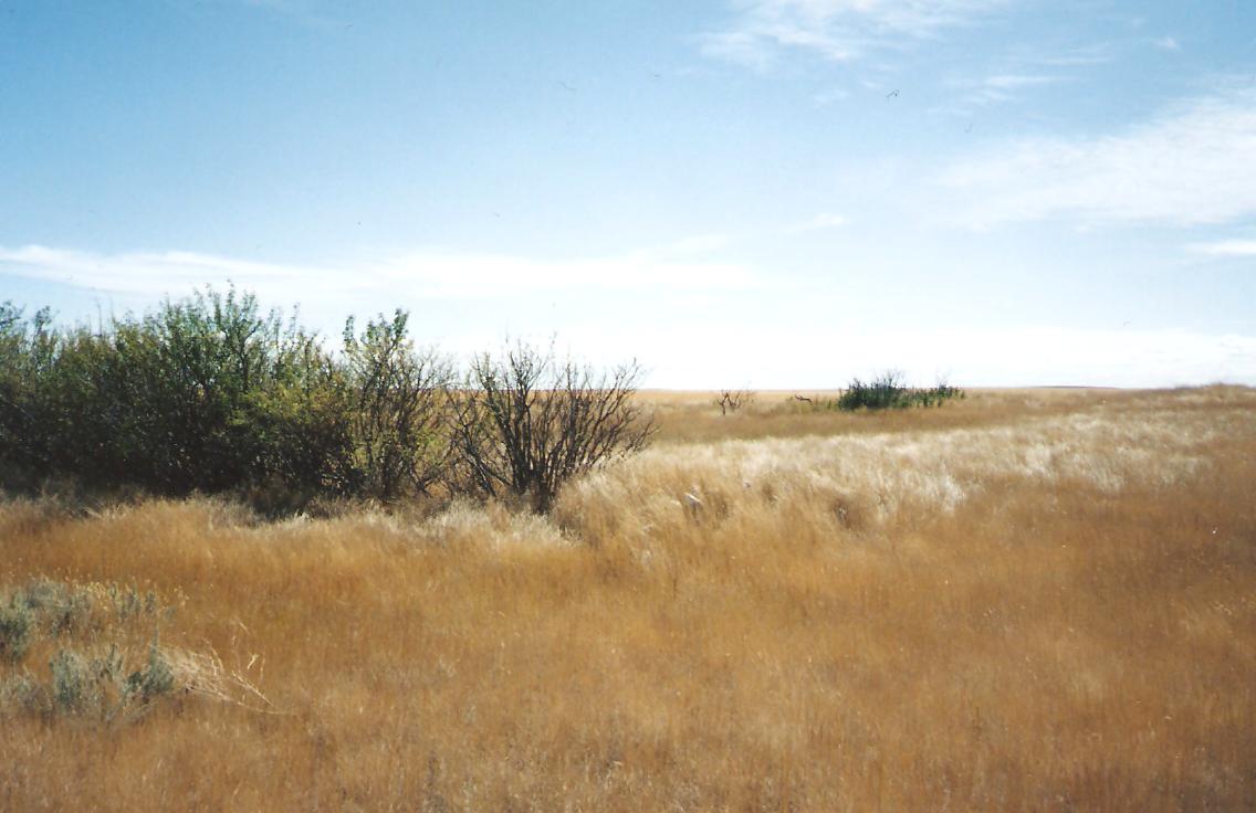
The Schuler, Alberta, history book states that Jacob Will’s mother and four of her infant grandchildren are interred in a small plot along the west side of this property. The cemetery is located on Range Road 11 and one mile north of Township Road 152. MHDGS visited the site September 08, 1996, and could not find any sign of a burial plot. There is a small grove of shrubs near the north-west corner and suspect the burials might have occurred there.

Courtesy of Medicine Hat and District Genealogical Society (MHDGS)

Deaths

Longevity

Address

Township Road 153 and Range Road 11
Nearest Populated Centre: Schuler,
Province: Alberta

Map Location

Latitude, Longitude
50.26636, -110.02818

Map Location

Search for:
RESET
Surname Given Name Born Died Age Photo(s) Cemetery Obituary Narrative R Code

The 25 most common surnames found in this cemetery.

loader

The 25 most common given names found in this cemetery.

loader

Other Cemeteries

Glenwood Cemetery (Cardston County)

Highway 810 N of Range Road 52 , Highway 810 N of Range Road 52 , Alberta

Albion Ridge Cemetery (Lethbridge County)

Range Rd 22-2 & Twp Rd 12-0 , Barons , Alberta

Water Valley Cemetery (Mountain View County)

Range Rd 52 & Highway 579 , Water Valley , Alberta

St. Joseph's Cemetery (Three Hills, Kneehill County)

Secondary Highway 583 just west of Three Hills , Three Hills , Alberta

Wiest Cemetery (MD of Taber)

143043 Range Road 195 , Enchant , Alberta

Prairie Sky Cemetery (Calgary)

12800 100 St SE , Calgary , Alberta

Namaka Mennonite Cemetery (Wheatland County)

Namaka, Strathmore Census Division , Carseland , Alberta

Highland Cemetery (Forty Mile County)

Township Road 120 and Range Road 84 , Whitla , Alberta

Carstairs Cemetery (Mountain View County)

Gough Road , Carstairs , Alberta

St. Stephen's Cemetery (Cardston County)

Range Road 262 N of Township Road 20A , Aetna , Alberta

Discover Alberta Ancestors