Range Rd 60 & Twp Rd 90

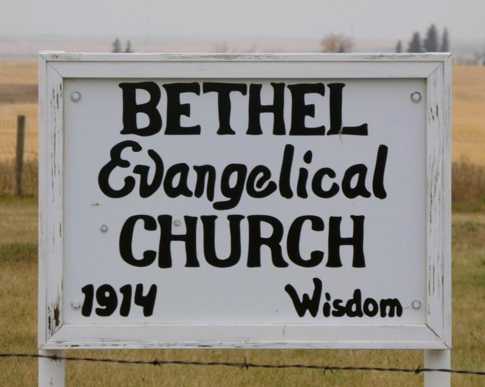
In 1914, the families from this district banded together and built the church at this location. Pastor Amacher pitched in to help build the church. The logs were hauled from the Cypress Hills by a five or six team hitch. The logs were cut under a special permit from the government. They cut only the choicest green logs as they wanted only certain logs to be used in the construction. Property for the church and cemetery were donated by Fred Heidinger and his wife Fredricka nee Gwinner, both are interred here. Mr. John Enslen and Mr. Fred Heidinger acted as foremen during the construction. Some of the pastors that served Bethel were: Reverends Sam Senft, Knopp, Krotz, Lieske, Ralph Diemert, Art Riegel, John Dyck and Ed Riegel The last minister to conduct services was Reverend John Kaiser. The cemetery is located south of Medicine Hat, Alberta, on the Black and White Trail or Range Road 60, to township road 90 then one mile west. Legal land description is SW 01-09-06-W4. The cemetery is badly overgrown, there is a broken down church at this location.
Information courtesy of Medicine Hat and District Genealogical Society
Address
Range Rd 60 & Twp Rd 90
Nearest Populated Centre: Wisdom,
Province: Alberta
Map Location
Latitude, Longitude
49.69880, -110.70367
Map Location
| Surname | Given Name | Born | Died | Age | Photos | Cemetery | R Code |
|---|---|---|---|---|---|---|---|
The 25 most common surnames found in this cemetery.

The 25 most common given names found in this cemetery.

