Deaths

Longevity

Address

Range Road 222A south of Highway 9
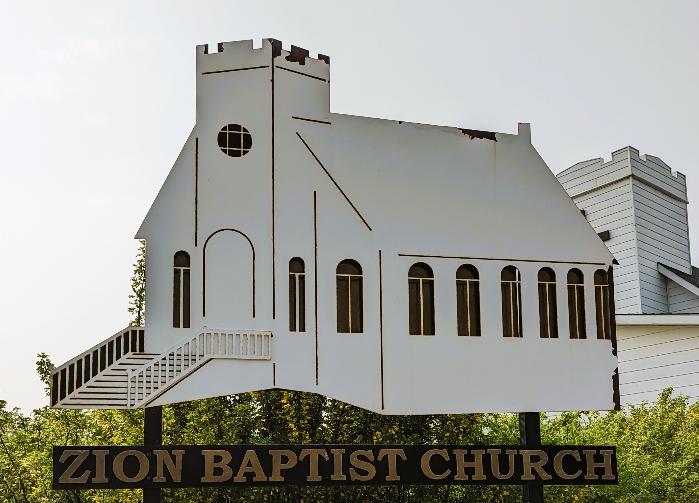
Nearest Populated Centre: Hesketh,
Province: Alberta

Map Location

Latitude, Longitude
51.3874, -113.01756

Map Location

Search for:
RESET
Surname Given Name Born Died Age Photo(s) Cemetery Obituary Narrative R Code

The 25 most common surnames found in this cemetery.

loader

The 25 most common given names found in this cemetery.

loader

Other Cemeteries

Blairmore New Union Cemetery (Crowsnest Pass)

25th Ave , Blairmore , Alberta

St. Anne's Cemetery (Josephburg, Cypress County)

East of Range Road 30, south of Township Road 94 , Josephburg , Alberta

Jewish Memorial Chapel Cemetery (Calgary)

101 17818 37 St SW , Calgary , Alberta

Trinity Mennonite Church Cemetery (Foothills County)

434 Ave E & 144 St E , Aldersyde , Alberta

Hutterian Brethren of Roseglen Cemetery (Cypress County)

Twp Rd 180 and Rge Rd 22 , Hilda , Alberta

Hargrave Family Ranch Cemetery (Cypress County)

Twp 130 & Rge Rd 11 , Walsh , Alberta

Prospy Cemetery (Forty Mile County)

Highway 885, Township Road 81 and Range Road 92 , Etzikom , Alberta

Kootenai Brown Cemetery (Waterton Lakes National Park)

Highway 5, Waterton Park , Waterton , Alberta

Schmidt Family Cemetery (Cypress County)

Twp Rd 150 and Rge Rd 14a , Schuler , Alberta

Pleasant View Cemetery (Forty Mile County)

8 km west of junction of Highway 501 and Range Road 63 , Manyberries , Alberta

Discover Alberta Ancestors