Deaths

Longevity

Address

Range Road 222A south of Highway 9
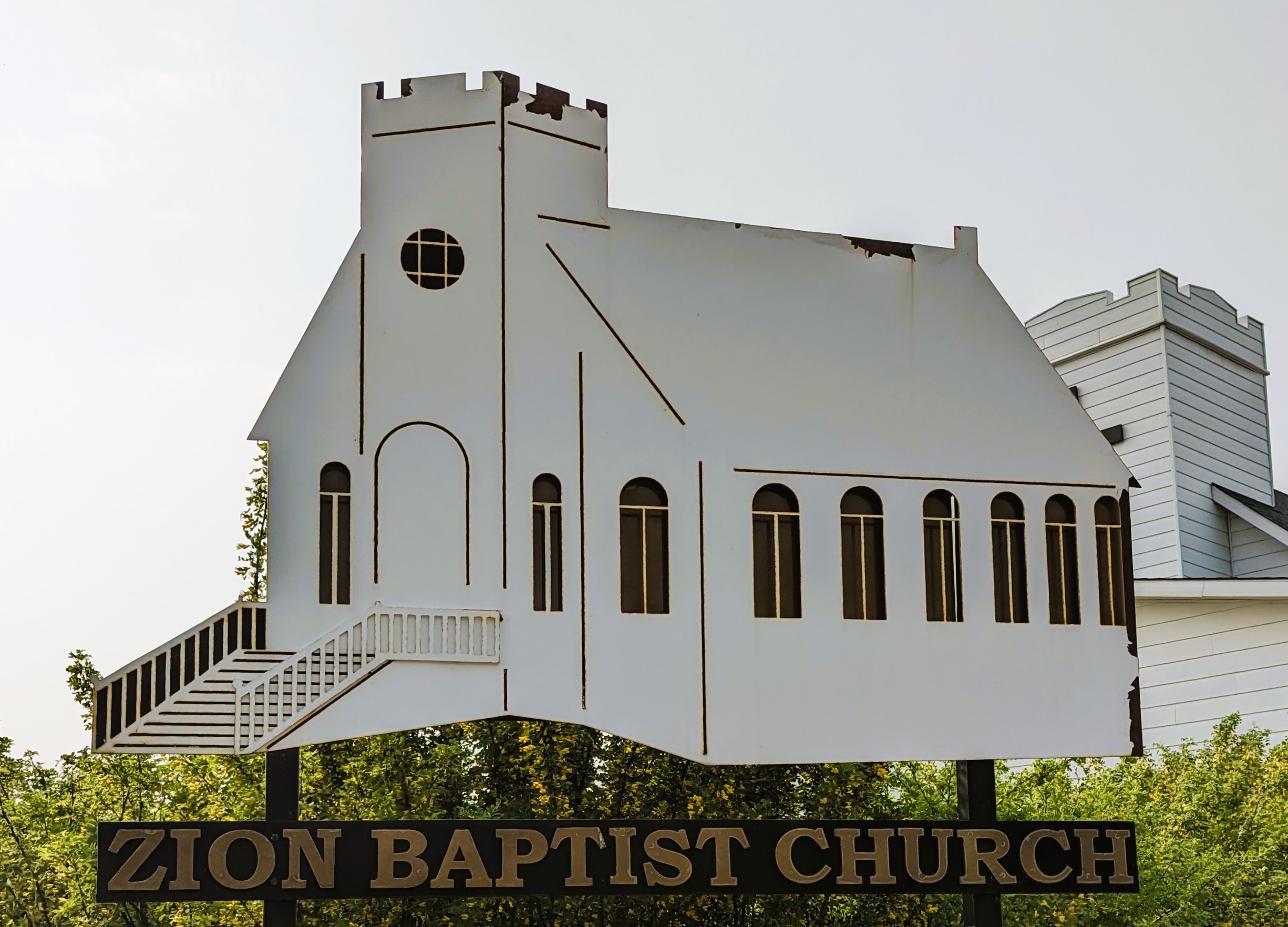
Nearest Populated Centre: Hesketh,
Province: Alberta

Map Location

Latitude, Longitude
51.3874, -113.01756

Map Location

Search for:
RESET
Surname Given Name Born Died Age Photo(s) Cemetery Obituary Narrative R Code

The 25 most common surnames found in this cemetery.

loader

The 25 most common given names found in this cemetery.

loader

Other Cemeteries

Sarcee Butte Cemetery (Kneehill County)

311012 Range Road 221 , Three Hills , Alberta

Pleasant View Cemetery (Forty Mile County)

8 km west of junction of Highway 501 and Range Road 63 , Manyberries , Alberta

Aspelund Cemetery (Lacombe County)

Range Road 283 S of Township Road 394 / Aspelund Rd , Blackfalds , Alberta

Elinor Cemetery (Lethbridge County)

Rge Rd 520 west of Twp Rd 23 , Barons , Alberta

Sacred Heart Cemetery (Faith, Forty Mile County)

Township Road 41 and Range Road 100 , Nemiskam , Alberta

Hilda Baptist Cemetery (Cypress County)

Twp Rd 174 & Range Rd 12 , Hilda , Alberta

Mount Davis Cemetery (Kneehill County)

314035 Range Rd 250 , Three Hills , Alberta

Fath Hill Cemetery (Vulcan County)

Rge Rd 529 west of Hwy 23 , Champion , Alberta

Knee Hill Valley Divide Cemetery (Red Deer County)

Twp Rd 350 west of Rge Rd 264 , Knee Hill Valley , Alberta

Discover Alberta Ancestors