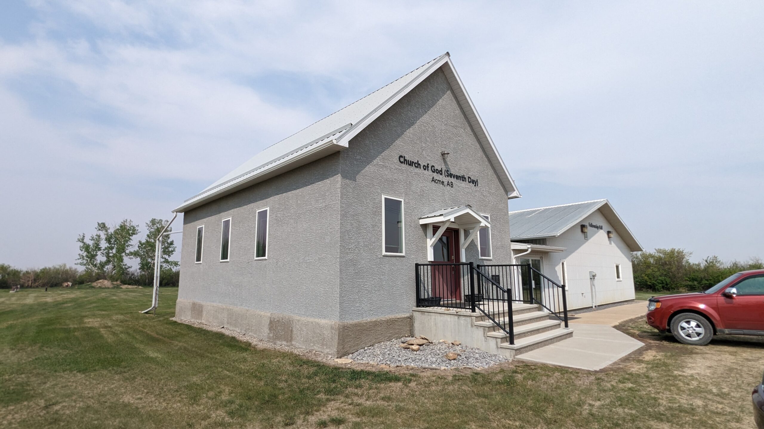
Twp Rd 292 between Rge Rds 264 & 263

The village of Acme, located 83 kilometers northeast of Calgary, has a rich history that is deeply intertwined with the Canadian Pacific Railway. The name Acme, derived from the Greek word meaning “the highest point”, was given by CPR surveyors, as the village’s station was the northernmost stop on the company’s network in 1909. The first train arrived on July 7, 1910, the same day the village was incorporated.
Acme was the end of the CPR railroad until 1921 when the railway was extended to Drumheller. Prior to 1912, the CPR railway was built from Calgary to Edmonton via Beiseker to Three Hills and from Calgary to Saskatoon via Drumheller. Acme was the point of supply for a large area, and many early family histories mention stepping off the train at Acme prior to settling in the area.
Today, the Acme district is a rich agricultural area. Oil and natural gas are also produced in and around the Acme region. In the 2021 Census of Population conducted by Statistics Canada, the Village of Acme had a population of 606.
The Acme Church of God and its cemetery are significant landmarks in the village. The cemetery is well maintained and is a resting place for many locals. As of 2023, there are 90 interments at this cemetery.
Source: https://en.wikipedia.org/wiki/Acme%2C_Alberta
Address
Twp Rd 292 between Rge Rds 264 & 263
Nearest Populated Centre: Acme,
Province: Alberta
Map Location
Latitude, Longitude
51.47512, -113.60398
Map Location
| Surname | Given Name | Born | Died | Age | Photos | Cemetery | R Code |
|---|---|---|---|---|---|---|---|
The 25 most common surnames found in this cemetery.

The 25 most common given names found in this cemetery.

