
Township Road 460 W of Range Road 74
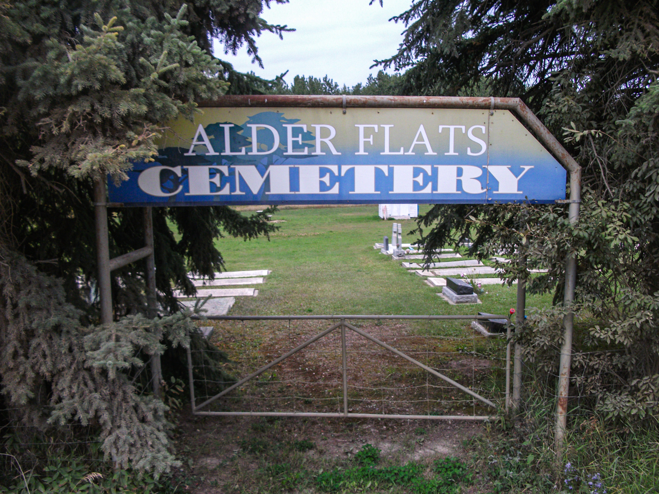
Alder Flats Cemetery, located at Township Road 460 in the hamlet of Alder Flats within the County of Wetaskiwin No. 10, was officially registered in 1938. The site sits near the community that had its earliest homesteaders arrive around 1919, with most settlers establishing themselves through the 1930s.
Alder Flats began as a logging and trapping settlement where early residents subsisted on natural resources: cutting timber, trapping fur-bearing animals, and hunting. Homes were typically built of logs and slabs sealed with mud and moss; some trappers even kept wildlife like moose or bears as pets. A formal cemetery wasn’t established until two decades later, reflecting the growth of the local settler population.
By the late 1930s, the community formally established Alder Flats Cemetery to serve the need for local burial grounds. The cemetery quickly became the resting place for many pioneer families, including Ukrainian immigrants and early settlers, such as Jaroslaw “Samuel” Maciborski (died 1958) and his wife Annie Feniak Maciborsky (died 1972), whose graves are recorded there. Another notable individual, Annie Johnson Stowell (died 1970), also rests there.
In the 1950s, as oil and gas discoveries transformed the region, Alder Flats saw a shift away from logging toward energy-based employment. This boom brought new families and heightened the need for local services—including ongoing use and upkeep of the cemetery. With more local burials, the cemetery became a lasting chronicle of the community’s evolving story.
Today, Alder Flats Cemetery remains a tranquil and well-kept rural burial ground. It reflects nearly a century of local history, preserving the memory of early settlers, immigrant families, and community elders. Visitors are advised that the entry gates are locked, and that arrangements should be made with caretakers before visiting.
As a repository of early settler and immigrant legacies, Alder Flats Cemetery aged gracefully alongside the hamlet’s development. Its establishment in the late 1930s marks a milestone in community infrastructure—shifting from a wilderness outpost to a settled hamlet. As energy industries grew post‑1950s, families continued to lay to rest loved ones on these grounds, weaving a narrative of resilience amid economic change.
Alder Flats Cemetery is more than a burial ground—it’s a chronicle of rural Alberta history, community identity, and enduring passions of local volunteers who safeguard this sacred space for future generations.
Address
Township Road 460 W of Range Road 74
Nearest Populated Centre: Buck Lake,
Province: Alberta
Map Location
Latitude, Longitude
52.93183, -114.97823
Map Location
| Surname | Given Name | Born | Died | Age | Photos | Cemetery | R Code |
|---|---|---|---|---|---|---|---|
The 25 most common surnames found in this cemetery.

The 25 most common given names found in this cemetery.