The Andrew Beierbach Homestead is twelve miles west and five miles north of Hilda, Alberta. Congregational church records indicate a grave two feet south and three feet west of property line in the northeast corner of the northeast quarter.

Courtesy of Medicine Hat and District Genealogical Society (MHDGS)

Deaths

Longevity

Address

Twp Rd 184 & Rge Rd 31
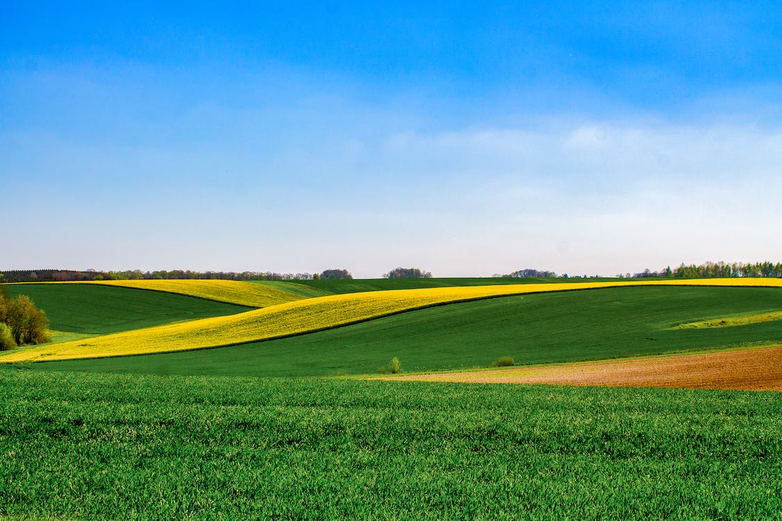
Nearest Populated Centre: Hilda,
Province: Alberta

Map Location

Latitude, Longitude
50.55758, -110.30303

Map Location

Search for:
RESET
Surname Given Name Born Died Age Photo(s) Cemetery Obituary Narrative R Code

The 25 most common surnames found in this cemetery.

loader

The 25 most common given names found in this cemetery.

loader

Other Cemeteries

St. Peter's German Latvian Lutheran Cemetery (Irvine, Cypress County)

Township Road 100 & Range Road 31 , Irvine , Alberta

Mountain View Cemetery (Banff National Park)

1029 Banff Avenue , Banff , Alberta

Hutterian Brethren of Roseglen Cemetery (Cypress County)

Twp Rd 180 and Rge Rd 22 , Hilda , Alberta

Hargrave Family Ranch Cemetery (Cypress County)

Twp 130 & Rge Rd 11 , Walsh , Alberta

Neuburg Church of God Cemetery (Cypress County)

Twp Rd 102 & Hwy 41 , Neuberg (south of Irvine) , Alberta

Faith Union Cemetery (Forty Mile County)

Township Road 42 and Highway 885 , Etzikom , Alberta

Bow City Cemetery (Newell County)

Rge Rd 165 north of Hwy 539 , Brooks , Alberta

Hussar Cemetery (Wheatland County)

Highway 561 (east of Hussar) , Hussar , Alberta

Bottrel Cemetery (Rocky View County)

Range Rd 43 & Township Rd 283 , Bottrel , Alberta

Discover Alberta Ancestors