
Range Road 283 S of Township Road 394 / Aspelund Rd
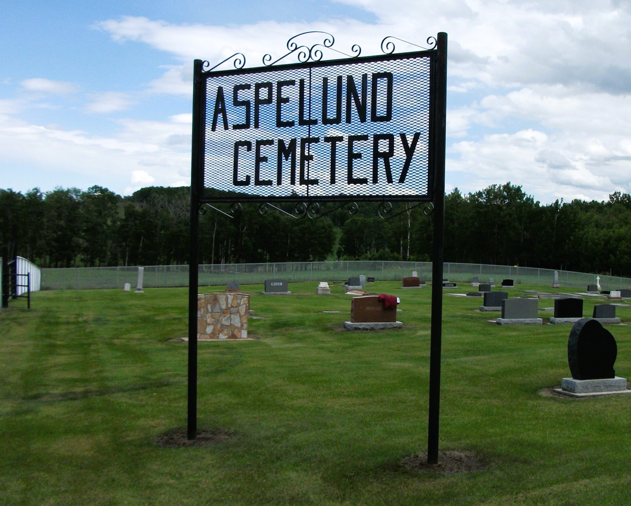
Aspelund Cemetery, located in Lacombe County near Blackfalds, Alberta, is a historic burial ground that reflects the region’s Scandinavian heritage and early settlement patterns. Situated on Range Road 283, just south of Township Road 394 (Aspelund Road), the cemetery is a testament to the community’s pioneers and their enduring legacy.
Origins and Community Roots
The name “Aspelund” is of Swedish origin, meaning “aspen grove,” indicative of the early Scandinavian settlers who established roots in the area. These immigrants brought with them traditions, customs, and a strong sense of community, which are evident in the establishment of the cemetery. While specific records detailing the cemetery’s founding are limited, its existence underscores the importance of providing a final resting place for the community’s members.
Notable Interments
Aspelund Cemetery is the final resting place for several individuals who played significant roles in the local community. Among those interred are:
- Hans Amundson (1763–1840): An early settler whose contributions to the community are remembered.
- Rinkje Bajema (1875–1934): A member of the Bajema family, known for their involvement in the region’s agricultural development.
- Elizabeth Ann Banton (1859–1937): Her presence in the cemetery reflects the area’s diverse settler population.
These individuals, among others, are commemorated in the cemetery, highlighting the area’s rich tapestry of pioneer history.
Preservation and Legacy
In recent years, efforts have been made to preserve and document the history of Aspelund Cemetery. Platforms like BillionGraves have cataloged headstone data, ensuring that the stories of those interred are not forgotten. This digital preservation allows descendants and historians alike to access information about the cemetery’s interments, fostering a connection to the past.
The cemetery’s continued maintenance and the respect shown by the local community ensure that Aspelund Cemetery remains a poignant reminder of Alberta’s pioneer spirit and the enduring legacy of its early settlers.
For those interested in exploring further, Aspelund Cemetery is located at approximately 52.363040°N latitude and 113.962740°W longitude, offering visitors a serene environment to reflect on the region’s rich history
Address
Range Road 283 S of Township Road 394 / Aspelund Rd
Nearest Populated Centre: Blackfalds,
Province: Alberta
Map Location
Latitude, Longitude
52.36304, -113.96274
Map Location
| Surname | Given Name | Born | Died | Age | Photos | Cemetery | R Code |
|---|---|---|---|---|---|---|---|
The 25 most common surnames found in this cemetery.

The 25 most common given names found in this cemetery.